Butterfield Overland Mail Route Page7![]() ![]() ![]() Butterfield Route Page1 2 3 4 5 6 7 8 9 10 11 12 Next Photos this page courtesy of Webmaster |
![]() |
(October 7, 2012)
Enlarge
Map
Map-2
Oklahoma Historical Society
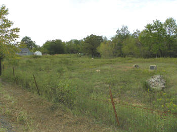
marker for Holloway's Station. 3 mi. northeast of Red Oak on Norris Road,
Latimer County. Station site approximately 200 ft west of marker near
house in left background. View
looking northwest from Norris Road
N34 58.552 W95 03.072 |
![]() |
![]() |
|
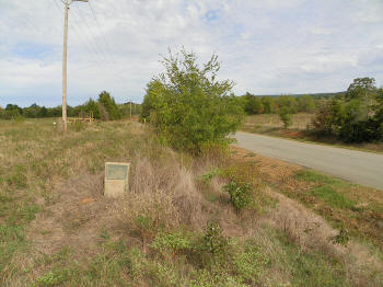
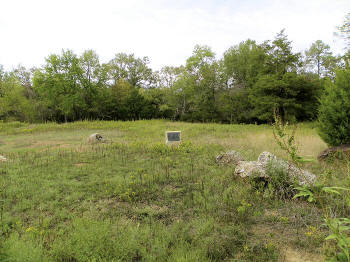
(October 7, 2012) Enlarge Holloway's Station marker |
|
![]() |
![]() |
|
(October 7, 2012) Enlarge Holloway's Station was located near the structures in the left background. Station marker at right center of picture |
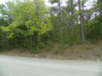
(October 7, 2012) Enlarge William Holloway's home was approximately 100 yards up the ridge in background |
|
|
![]() |
|
(October 7, 2012) Enlarge At Holloway's Station Norris Road follows the exact route of the stage road northeast approximately 4 mi. to Edward's Store |
(October 7, 2012) Enlarge Map Map-2 Oklahoma Historical Society marker for Edwards Store (cafe for Butterfield and stage stop for later Wells Fargo stages) located along the Butterfield Trail. About 7 mi. northeast of Red Oak on Norris Road
N34 59.849 W94 58.446 |
Civil War in Indian Territory Home Site Index Butterfield Route Page1 2 3 4 5 6 7 8 9 10 11 12 Next