| Butterfield
Overland Mail Route Page3 Butterfield Route Page1 2 3 4 5 6 7 8 9 10 11 12 Next Photos this page courtesy of Webmaster |
| Butterfield
Overland Mail Route Page3 Butterfield Route Page1 2 3 4 5 6 7 8 9 10 11 12 Next Photos this page courtesy of Webmaster |
 |
 |
|
|
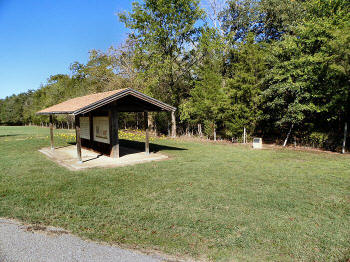
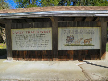
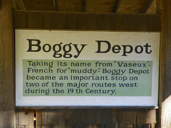
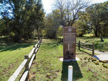
(October 14, 2012) Enlarge Map Oklahoma Historical Society marker for Boggy Depot Stage Stand and a state park kiosk commemorating the Butterfield Trail. Boggy Depot Park, 8 mi. west of Tushka on Boggy Depot Road, Atoka County. OHS marker at right center of picture. The view is looking northeast
N34 19'11.78 W96 18'29.91 |
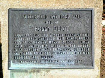
(October 14, 2012) Enlarge Oklahoma Historical Society marker for Boggy Depot. Marker located at the extreme east edge of park property |
|
 |
 |
|
|
(October 14, 2012) Enlarge OHS Boggy Depot marker |
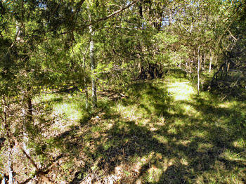
(October 14, 2012) Enlarge Trace of the Butterfield Road, east of the Boggy Depot marker, headed northeast to Geary's Station |
|
 |
| (October 14, 2012) Enlarge From site of John Kingsbury Home to School House site, center looking east |
 |
| (October 14, 2012) Enlarge From site of Gov. Allen's residence to Confederate Military Quarters/Post, center looking east |
 |
 |
|
|
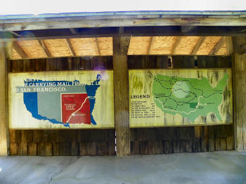
(October 14, 2012) Enlarge Detail-1 Detail-2 Boggy Depot Butterfield Kiosk |
(October 14, 2012) Enlarge Detail-1 Detail-2 Boggy Depot Butterfield Kiosk |
|
 |
 |
|
| (October 14, 2012) Enlarge Boggy Depot Park |
(October 14, 2012)
Enlarge
Map
Trace of the Butterfield Trail on the grounds of the Confederate Museum at
the north edge of Atoka, Atoka County. From here the trail continues
southwest about a half-mile to the Middle Boggy River (wartime Middle
Boggy) and on to Boggy Depot. The monument commemorates the 150th
anniversary of the Butterfield Trail in Indian Territory
N34
23'57.30 W96 06'59.58 |
Civil War in Indian Territory Home Site Index Butterfield Route Page1 2 3 4 5 6 7 8 9 10 11 12 Next