| Butterfield Overland
Mail Route Page5 Butterfield Route Page1 2 3 4 5 6 7 8 9 10 11 Next |
| Butterfield Overland
Mail Route Page5 Butterfield Route Page1 2 3 4 5 6 7 8 9 10 11 Next |
 |
 |
||
|
(March
1, 2012) Enlarge
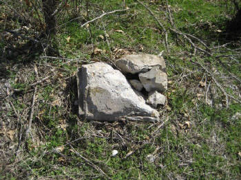
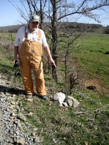
Pusley's Station marker |
|
||
 |
 |
||
|
(March
1, 2012)
Enlarge
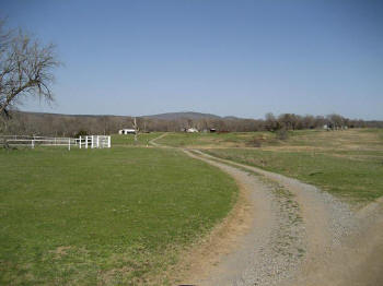
View from near Pusley's Station looking
northeast toward Mountain Station in the far center background |
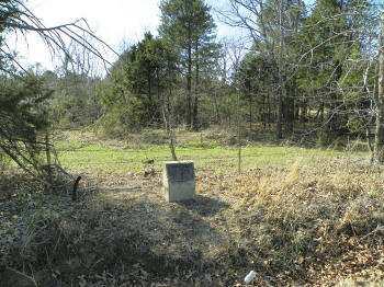
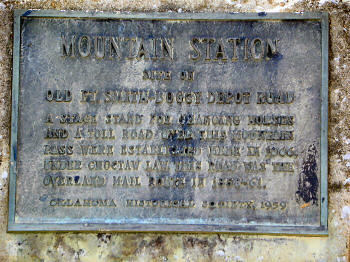
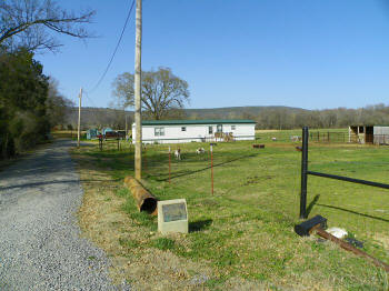
(March 1, 2012) Enlarge Map Map-2 Oklahoma Historical Society marker for Mountain Station on Old Fort Smith/Boggy Depot Road. Road was the overland mail route in 1858-1861. Stand for changing horses located here. Mountain Station Road, 2.2 mi. north of SH-63, southwest of Wilburton, Latimer County
N34 50.192 W95 25.480 |
||
 |
 |
||
|
(March
1, 2012) Enlarge
Mountain Station marker Photo by Webmaster |
(March 1, 2012) Enlarge Map Map-2 Oklahoma Historical Society marker for Riddle's Station. Near east edge of Wilburton on Fourche Maline Heights Road, Latimer County. Riddle home site approximately 500ft north of marker. View looking north from the road. The stage road trace is just to the south of the trailer house
N34 55.209 W95 15.387 |
Civil War in Indian Territory Home Site Index Butterfield Route Page1 2 3 4 5 6 7 8 9 10 11 12 Next