| Butterfield Overland Mail
Route Page2 Butterfield Route Page1 2 3 4 5 6 7 8 9 10 11 12 Next Photos this page courtesy of Webmaster |
| Butterfield Overland Mail
Route Page2 Butterfield Route Page1 2 3 4 5 6 7 8 9 10 11 12 Next Photos this page courtesy of Webmaster |
 |
|
(March 12, 2012)
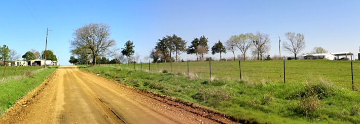
Enlarge Fisher's
Station site from approximately 50 yards south. The OHS marker is just
beyond the tall tree at edge of Fisher's Station Road |
 |
| (March 12, 2012)
Enlarge Closer
view of Fisher's Station site Photo by Webmaster |
 |
||||||||||
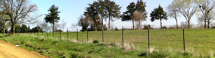
| (March 8, 2012)
Enlarge Panoramic view from Fisher's Station marker
near east edge of Fisher's Station Road Photo by Webmaster
|
||||||||||
 |
 |
|
|
(March 3, 2011) Enlarge Map Oklahoma Historical Society marker at site of Nail's Crossing on Blue River. About 2 mi. southwest of Kenefic, Bryan County
N34 07'47.72 W96 23'33.27 |
(March 3, 2011) Enlarge Nail's Crossing marker | |
 |
 |
|
|
(March 3, 2011) Enlarge Nail home site. OHS marker in center of picture |
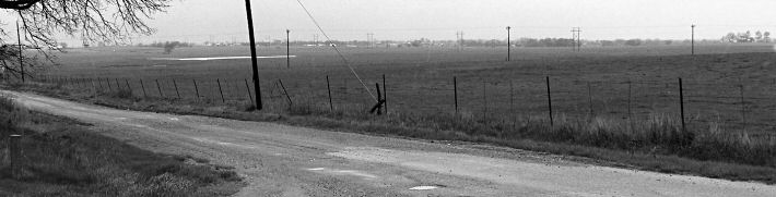
(March 3, 2011) Enlarge Trace of stage route east of Blue River, near Nail's Crossing. View looking west
|
|
 |
 |
|
|
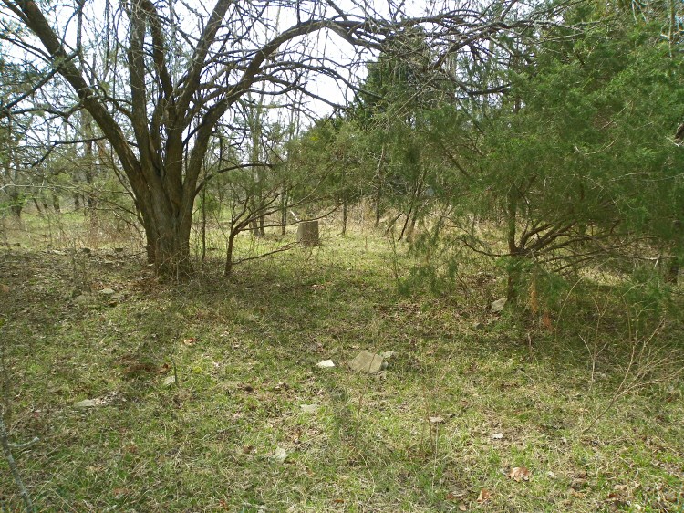
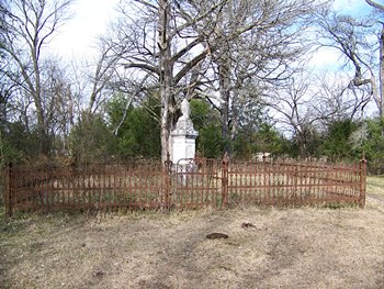
(January 19, 2010) Enlarge Nail family cemetery |
(March 3, 2011) Enlarge Nail's Crossing site on Blue River. View looking down stream from east bank N34 07'46.93 W96 23'38.14 |
Civil War in Indian Territory Home Site Index Butterfield Route Page1 2 3 4 5 6 7 8 9 10 11 12 Next
![]()


