| Butterfield Overland Mail Route Page10 Butterfield Route Page1 2 3 4 5 6 7 8 9 10 11 12 Next Photos this page courtesy of Webmaster |
| Butterfield Overland Mail Route Page10 Butterfield Route Page1 2 3 4 5 6 7 8 9 10 11 12 Next Photos this page courtesy of Webmaster |
 |
 |
|
|
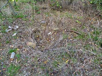
(October 7, 2012) Enlarge Cistern near east side of Edwards's Store |
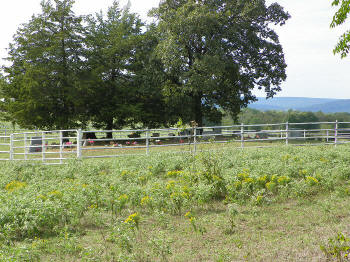
(October 7, 2012) Enlarge Cemetery about 150 ft west of the store |
|
 |
 |
|
|
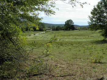
(October 7, 2012) Enlarge A view of the stage route from Edward's Store looking east |
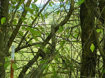
(October 7, 2012) Enlarge The trail from the store looking southwest |
|
 |
 |
|
|
(October 7, 2012)
Enlarge
Map Oklahoma Historical
Society marker for Trahern's Station. Latham community, 8 mi. west
of Shady Point, Leflore County. Here the present county road is the approximate
Butterfield route. View looking south from county road |
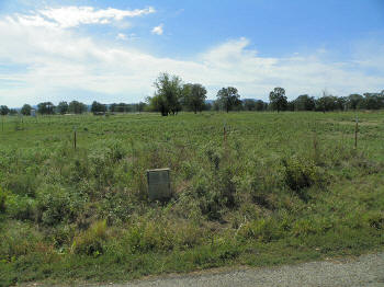
(October 7, 2012) Enlarge Trahern's Station marker |
 |
|
(October 7, 2012) Enlarge The old Latham store is in the trees to the left of the truck. The council house site is about 200 ft beyond the store to the northeast. Site of Trahern's Station is between the road and the clump of trees at right center of picture. View looking east |
 |
|
(October 7, 2012) Enlarge Trace of the Butterfield Trail between Brazil Station and Trahern's Station |
Civil War in Indian Territory Home Site Index Butterfield Route Page1 2 3 4 5 6 7 8 9 10 11 12 Next