| Grant Moves Inland Page4 | ||
 |
 |
|
|
(3-01)
Enlarge Roach
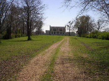
Farm site. View
looking south from Utica Road. McPherson established his headquarters
here the night before the May 12 Battle of Raymond |
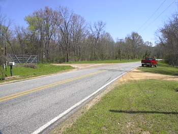
(3-01) Enlarge Junction of Old Port Gibson Road and Charlie Brown Road, left (wartime Montgomery Bridge Road). View looking east. Under orders from McClernand, A. J. Smith's Division advanced along the bridge road to protect the army's left flank from any Confederate attempt to cross the Big Black River |
|
 |
 |
|
|
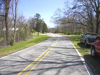
(3-01) Enlarge Cayuga. Old Port Gibson Road ╝ mi. east of Charlie Brown Road (wartime Montgomery Bridge Road). View looking east. Grant established his headquarters here the night of May 10 |
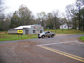
(3-09) Enlarge Cayuga. Jct. of Old Port Gibson Road and Cayuga Road. View looking north from Cayuga Road |
|
 |
 |
|
|
(2-2020) Enlarge Cayuga. Final Plans at Cayuga Interpretive Marker at Jct. of Old Port Gibson Road and Cayuga Road. View looking west |
(2-2020)
Enlarge
Interpretive Marker at the Junction |
|
 |
 |
|
|
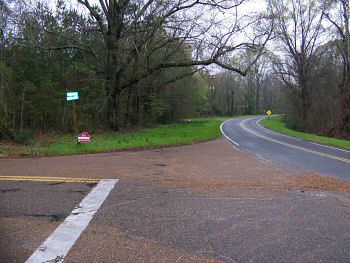
(3-09) Enlarge Cayuga. Junction of Old Port Gibson Road (right) and Cayuga Road. View looking west |
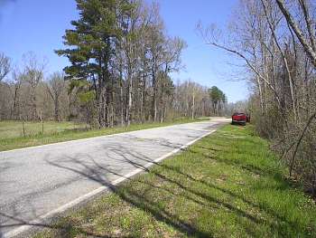
(3-01) Enlarge Old Port Gibson Road crossing of Fivemile Creek. View looking east. Two division of McClernand's Corps camped here the night of May 10 and were ordered to hold their ground on May 11 to allow Sherman's Corps to take the lead |