| Grant Moves Inland Page5 | ||
 |
 |
|
|
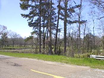
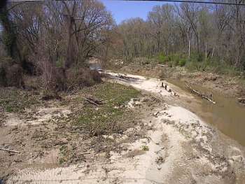
(3-01) Enlarge Northwest view from Fivemile Creek bridge |
(3-01) Enlarge Fivemile Creek. North view from Old Port Gibson Road |
|
 |
 |
|
|
(3-2020) Enlarge Interpretive Marker: Old Auburn. Approx. ╝ mi. northeast of SH-27. View looking southwest |
(3-2020)
Enlarge
Old Auburn Interpretive Marker |
|
 |
 |
|
|
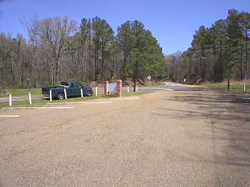
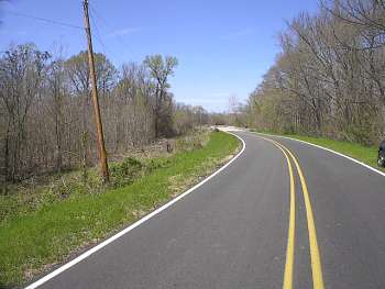
(3-01) Enlarge Junction of Old Port Gibson Road and State Highway 27 approx. ╝ mi. west of Old Auburn site. View looking northeast. |
(3-01) Enlarge Whitaker Ford on Fourteenmile Creek. View looking north up the Historic Telegraph Road, four miles north of Old Port Gibson Road. On May 12 McClernand's Corps turned north on Telegraph Road, to strike the railroad at Edwards Station. Just south of the creek, the Federal vanguard encountered dismounted Confederate cavalry. After a brisk skirmish the troopers were forced to retire across the creek to a fortified line south of Edwards Station. The Federals chased the Confederates only as far as Mt. Moriah, a mile and a half north |
|
 |
 |
|
|
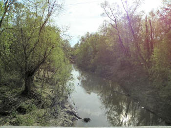
(3-12) Enlarge Fourteenmile Creek at site of Whitaker Ford. View looking east from the Middle Road bridge (wartime Telegraph Road) |
(3-12) Enlarge West view from the bridge |