Battle of Raymond
Photos courtesy of Webmaster unless
otherwise noted
|
Links: 1. Battle of Raymond: Vicksburg National Military Park 2. Official Site: The Battle of Raymond, Mississippi (May 12, 1863) 3. Battle of Raymond - Wikipedia 4. The Battle of Raymond - Raymond, Mississippi 5. Battle Summary: Raymond, MS 6. Raymond Heritage Tour 7. Friends of Raymond 8. National Register of Historic Places listings in Hinds County 9. Civil War News: The Waterways by Terry Winschel 10. Individual Battlefield Profiles - Port Gibson, MS to Vicksburg |
|||||||||||||||
![]() |
(March 2012)
Enlarge
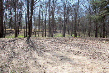
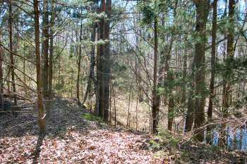
3/4 mi. Raymond Battlefield Walking/Interpretive
Trail. The first trail constructed on the Raymond Battlefield. Click
Here to see the trail photos |
![]() |
![]() |
|
(March 2012)
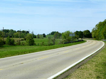
Enlarge Battle of Raymond
historical marker at SH-18 Fourteenmile Creek Bridge. McGavock's Hill in
distant left background. Fourteenmile Creek runs from left to right in the
tree line. Marker: May 12,
1863, on Fourteenmile Creek, 2,500 Confederate troops under Gen. John
Gregg attacked a 10,000 man corps under Gen. James B. McPherson.
Outnumbered, Gregg was forced to withdraw to Jackson |
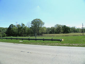
(March 2012) Enlarge SH-18 Fourteenmile Creek Bridge. McPherson Ridge, where Gen. McPherson observed the battle in center background |
|
![]() |
![]() |
|
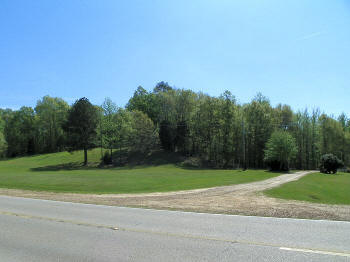
(March 2012)
Enlarge McGavock's Hill
from SH-18, north of Fourteenmile Creek Bridge |
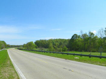
(March 2012) Enlarge Fourteenmile Creek Bridge, McGavock's Hill and Battle of Raymond historical marker |
|
![]() |
![]() |
|
(March 2005) Enlarge View to the south from top of McGavock's Hill | (March 2005) Enlarge Another view from top of the hill |
Raymond Page1 Page2 Page3 Page4 Page5 Page6 Page7 Page8 Page9 Next
Return to Yazoo Pass-Siege of Vicksburg Return to Vicksburg Campaign Photo Album