| Grant Moves Inland Page3 | ||
 |
 |
|
|
(3-2020) Enlarge Interpretive Marker: Concentration of Troops. Marker is on Old Port Gibson Road at Jct. with Ross Road approximately 3 mi. east of the Rocky Springs town site and approximately 2Į mi. west of the Crossroads. Big Sand Creek (below) is a short distance east of the this marker |
(3-2020)
Enlarge
Concentration of Troops Interpretive Marker in previous photo |
|
 |
 |
|
|
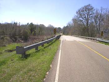
(3-01) Enlarge Old Port Gibson Road crossing of Big Sand Creek. View is looking west. The vanguard of Grant's army, Osterhaus's Division of McClernand's Corps, arrived here May 5. The rest of the Corps arrived May 8. Sherman and one of his divisions camped here May 10 |
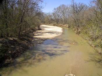
(3-01) Enlarge Big Sand Creek. View looking north from Old Port Gibson Road |
|
 |
 |
|
|
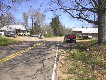
(3-01) Enlarge Reganton, known as the Crossroads during the Civil War. East view from Old Port Gibson Road. Under orders from Grant, McPherson's Corps turned south here on Fisher Ferry Road marching to Utica, and later bringing on the May 12 battle of Raymond. The junction is just east of building at right |
(3-2020)
Enlarge
Reganton. West view of the Crossroads and
the Historic Crossroads marker. Old Port Gibson Road runs across the
picture from left to right. The white building across the road is the
Crossroads Store |
|
 |
 |
|
|
(3-2020)
Enlarge The Historic Crossroads
Interpretive Marker |
(3-2020) Enlarge This view of the Crossroads is looking east. Fisher Ferry Road runs across the picture from left to right. The Historic Crossroads marker is partially visible behind the stop sign on the opposite of the road |
|
 |
||
|
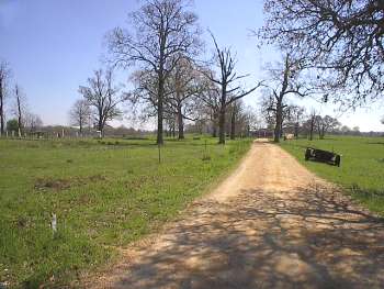
(3-01) Enlarge Week's Farm site. View looking south from Utica Road. McPherson's Corps camped here the night of May 10, two days before the Battle of Raymond |