| Grant Moves Inland Page2 | ||
 |
 |
|
|
(3-01)
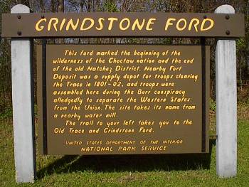
Enlarge National Park Service
marker on Natchez Trace Parkway |
(3-01) Enlarge Remains of the wartime suspension bridge approach |
|
 |
 |
|
|
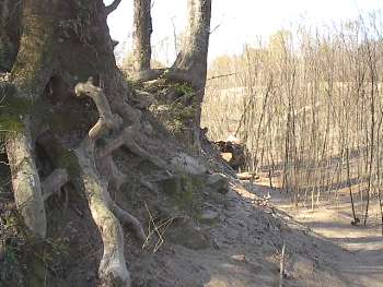
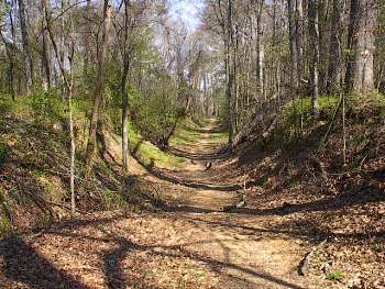
(3-01) Enlarge Natchez Trace leading to Grindstone Ford |
(March 2008)
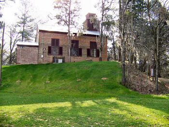
Enlarge
Rocky Springs Methodist Church from Old
Port Gibson Road. Click
here for five pages of Rocky Springs
photos |
|
 |
 |
|
|
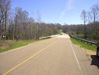
(3-01) Enlarge Old Port Gibson Road crossing of Little Sand Creek. The view is looking east. Elements of McClernand's Corps camped here night of May 6. Other units of Grant's army camped here May 7 and 8 |
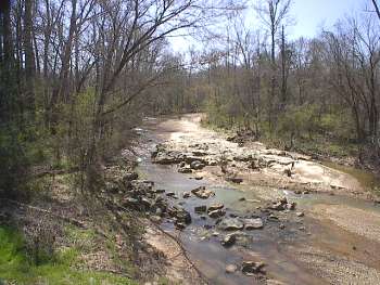
(3-01) Enlarge Little Sand Creek. View looking south from Old Port Gibson Road |
|
 |
 |
|
|
(3-2020) Enlarge Interpretive Marker: To the Railroad. Marker is on the Old Port Gibson Road just east of Little Sand Creek, approximately ╝ mi. east of the Rocky Springs town site |
(3-2020)
Enlarge To the Railroad
Interpretive Marker east of Little Sand Creek |