| Grant Moves Inland Page6 | ||
 |
 |
|
|
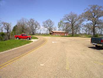
(3-01) Enlarge Mt. Moriah. Junction of Middle Road (wartime Telegraph Road), Mt. Moriah Road (right) and Smith Station Road (out of the picture at left). View looking north from Middle Road. The Middle and Smith Station Roads end at this junction. Mt. Moriah Road continues on to Edwards |
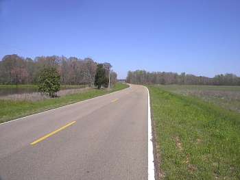
(3-01) Enlarge Old Port Gibson Road crossing of Fourtenmile Creek (trees in background). View looking east. Sherman's two divisions left Old Auburn the morning of May 12. Approaching Fourteenmile Creek, Sherman's cavalry screen was fired upon by Confederate cavalry hid in the trees lining the creek. After the Federals advanced a battery, and formed a battle line, the Confederates withdrew burning the bridge behind them |
|
 |
 |
|
|
(2-2020) Enlarge Interpretive Marker: Contested Crossing. Old Port Gibson Road crossing of Fourteenmile Creek mentioned in photo narrative above right. View is looking east |
(2-2020)
Enlarge Interpretive Marker
at the Fourteenmile Creek bridge |
|
 |
 |
|
|
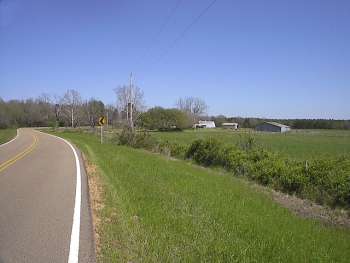
(3-01) Enlarge Dillon Farm site. View looking southeast from Old Port Gibson Road. After the skirmish at Fourteenmile Creek, Sherman's two divisions camped here at Dillon Farm. Grant established his headquarters here the night of May 12 and learned of the battle earlier that day at Raymond |
(2-2020) Enlarge Interpretive Marker: Change of Plans. Dillon Farm site |
|
 |
 |
|
|
(2-2020)
Enlarge Interpretive
Marker: Change of Plans. Dillon Farm site |
(2-2020) Enlarge Dillon Farm site. Old abandoned house, a modern home and other farm structures |
|
 |
||
|
(2-2020) Enlarge Old abandoned house at the Dillon Farm site. If anyone knows the history of this old structure please contact me |