|
|
|
|
|
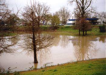
(March 1997)
Conjunction of Deer Creek & Rolling Fork
Creek. SH-14 west of US-61, Rolling Fork, MS |
(March 2010)
Enlarge Another view of the Conjunction of Deer Creek
& Rolling Fork Creek. Deer Creek flows through the culvert at right center of
picture |
|
 |
 |
|
|
(2006)
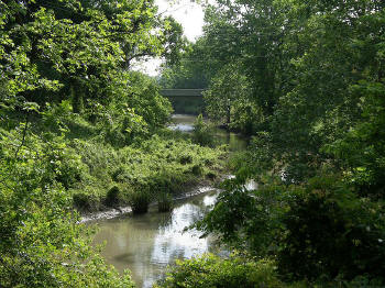
Enlarge Rolling
Fork west of US-61 Bridge |
(2006)
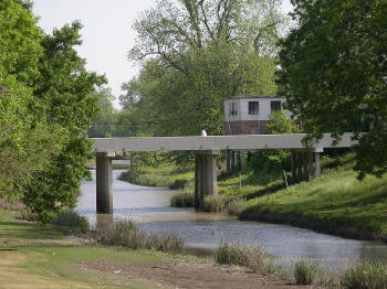
Enlarge Rolling
Fork just east of Deer Creek |
|
|
|
|
|
|
(March 2010) Enlarge Rolling Fork approximately 1/2 mi. east of Deer Creek. View looking west |
(March 2010)
Enlarge Widow Watson's farm.
Fields behind Sharkey-Issaquena Academy |
|
|
|
|
|
|
(March 2010) Enlarge Egremont Plantation |
(March 2010) Enlarge |
