|
(March 2008)
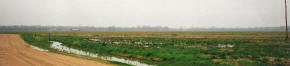
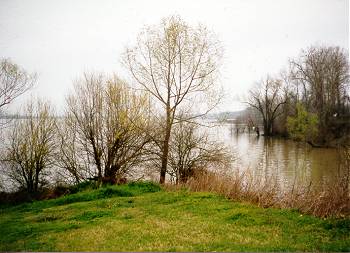
Enlarge Conjunction of the Yazoo River with
Steele's Bayou, starting point for the expedition. The Yazoo flows from right to left, view looking north up
the bayou |
|
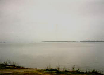
(March 1997) Eagle Lake (wartime
Eagle Bend of the Mississippi River). West view from mouth of Muddy
Bayou
Bayou Expedition Tour Guide: Eagle Lake is an
oxbow lake, one of many in the Delta that were cut off from the river as
it changed course over the years. In 1863, it was part of the Mississippi
River, known as Eagle Bend. Just after the Civil War, the river cut
through the neck at the base of the Eagle Bend meander look and converted
it into the modern-day Eagle Lake
Infantry troops accompanying the expedition unloaded from transports at
Eagle Bend with plans to march 3/4 mile along Muddy Bayou to Steele's
Bayou where they would board transports heading up the bayou |
|
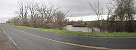
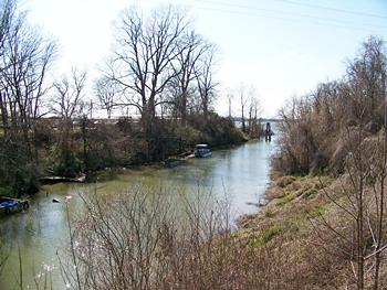
(March 1997)
Enlarge
Muddy Bayou approximately 1/8 mile west of
Steele's Bayou
(March 1997)
Enlarge Area north of Muddy Bayou |
|
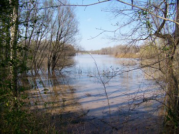
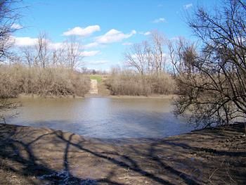
(March 2010)
Enlarge Steele's Bayou at the
conjunction with Muddy Bayou (a few yards to the right out of the picture).
View looking east across Steele's Bayou
Bayou Expedition Tour Guide: Once the troops made
their way to Steele's Bayou, they camped on the narrow strip of dry land
along the bank and waited to board transports. The first group of 950 men
boarded Silver Wave on the evening of March 19. The last units did
not reach Hill's plantation, a staging area for infantry approximately 35
miles from here, until the morning of March 23 |

