 |
 |
|
|
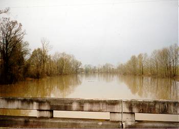
(March 1997) Steele's Bayou, 1 1/4 mi. below Black Bayou. View looking north
Official Records Reports
of Steele's Bayou Expedition |
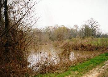
(March 1997)
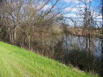
Enlarge Black Bayou approximately
2 miles east of Steele's Bayou. View looking east |
|
 |
 |
|
|
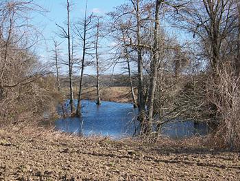
(March 1997) Enlarge Black Bayou approximately 1 1/4 mi. west of Deer Creek. View looking south |
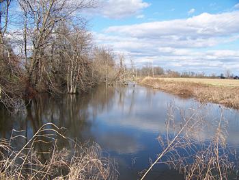
(March 2010) Enlarge Black Bayou approximately 1 mi. west of Deer Creek |
|
 |
 |
|
|
(March 2010) Enlarge Black Bayou approximately 3/4 mi. west of Deer Creek |
(March 2010)
Enlarge
Conjunction of Black Bayou and Deer Creek.
Black Bayou enters from the right.
View looking southeast. See the panorama below for better
view |