 |
|
|
|
(2006)
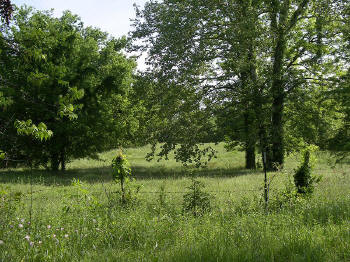
Enlarge Indian
Mounds. Near the east bank of Deer Creek
approximately 3/4 mile below Rolling Fork Creek. View
looking north |
(March 2010) Enlarge Another view of the Indian Mounds, looking north |
|
|
|
 |
|
|
(March 2010) Enlarge Rolling Fork Mounds interpretive marker |
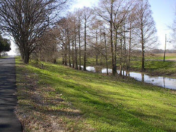
(March 2001) Enlarge Deer Creek west of the Indian Mounds. View looking south |
|
|
|
 |
|
|
(March 2010) Enlarge Deer Creek west of the Indian Mounds. View looking north |
(March 2000) Enlarge Deer Creek approximately 1/2 mile north of the Indian Mounds. View looking north. Official Records
Report of operations near this area |