| Champion Hill Home |
| Civil War Album Home |
| Return to Yazoo Pass - Siege of Vicksburg |
 |
||||||
|
|
||||||
|
Area Map | |||||
|
|
||||||
 |
 |
|
|
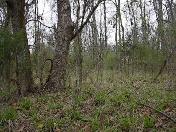
This is one of the only places on the ridge when there is clearing enough to see any terrain. It was taken about a one third of a mile out on the ridge from the previous two photographs. As with the last picture, the view is looking toward the Union assault from the north Locate on Map |
The left flank of the Confederate defense ended here about a mile out from the crest of Champion Hill. View looking southeast from near Champion Hill Road Locate on Map |
|
 |
 |
|
|
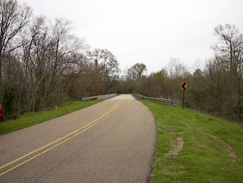
After Pemberton ordered his army to reverse its march and proceed to rendezvous with Johnston, the rear of army stationed near the crossroads now became the vanguard. The first in line were the wagon trains, loaded with supplies and ammunition, and they were able to clear the crossroads and make it across the upper Bakers Creek Bridge near Edwards before any major action. By the time the battle commenced, the wagon trains were already on the Brownsville Road. Because at the time the upper Bakers Creek crossing was the only avenue of escape for Pemberton (the lower bridge on the Raymond Road was flooded), Confederates posted a defense of the bridge to prevent its destruction by Yankee cavalry. The photograph above is looking east down the Jackson Road toward the battlefield. The modern Champion Hill Road bridge is in the center of the picture. The wartime crossing is to the right out of the picture Locate on Map |
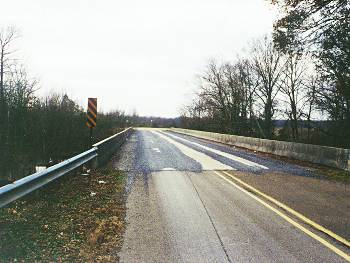
Another shot of the modern Champin Hill Road bridge this time looking to the west toward Edwards. The Confederate garrison would have been on the far side of the bridge. The wartime crossing is to the left out of the picture |
|
 |
||
|
Union Deployment, May 16
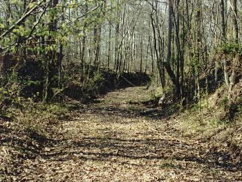
Enlarge The deep roadcut of the old Jackson
Road approximately 400 yards south of the Champion home. Although unused
today and located in a densely wooded area, it is obvious that this road at
one time was a major traffic artery linking Jackson and Vicksburg. The
Federal 12th Division under command of Alvin P. Hovey deployed his troops on
either side of this road before the Union assault on Champion Hill. The view
is looking south toward Champion Hill
Locate on Map
|
| Deployment Page1 Page2 Page3 Page4 Page5 Page6 Next |
 |