| Champion Hill Home |
| Civil War Album Home |
| Return to Yazoo Pass - Siege of Vicksburg |
 |
||||||
|
|
||||||
|
Area Map | |||||
 |
 |
|
|
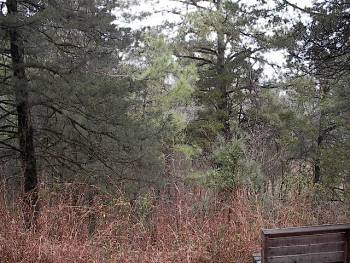
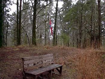
Another view from the crest looking northwestward. Lee extended his lines in this direction across a gentle ridge that overlooks the Bakers Creek bottom Locate on Map |
Another shot
of the crest of Champion Hill, this time looking to the southwest. The four
cannon that guarded the Jackson Road from the crest were placed somewhere in
this scene |
|
 |
 |
|
|
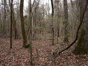
This photograph was taken about one quarter mile north northwest of the crest on the long ridge which Lee deployed his troops. The view is looking to the northwest down the length of the Confederate lines. Today, the dense tree cover makes it difficult to see the terrain but during the battle the Confederates here had an open field in front of them Locate on Map |
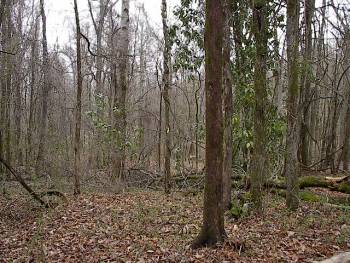
Another shot
of the Confederate battle line on the ridge from the previous photograph.
The view is looking to the north, toward the Union assault on the position |
| Deployment Page1 Page2 Page3 Page4 Page5 Page6 Next |
 |