
| Champion Hill Home |
| Civil War Album Home |
| Return to Yazoo Pass - Siege of Vicksburg |
 |
||||||
|
|
||||||
|
Area Map | |||||
 |
 |
|
|
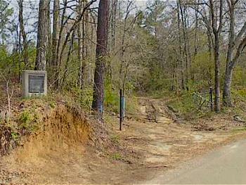
View
of the Jackson Road trace as it merges with the crossroads. The
marker designating the battlefield as a national historic landmark can
be seen at the far left |
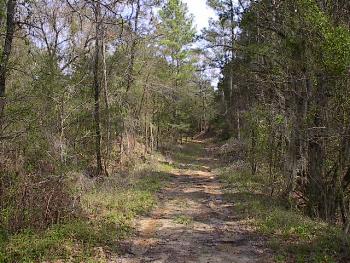
View of the
Jackson Road as it proceeds to Champion Hill,
which is located approximately 400 yards to the north of the crossroads in
the previous two pictures. The photograph was taken looking north toward
the hill. The crest would be just around the curve in the background |
|
 |
 |
|
|
Enlarge
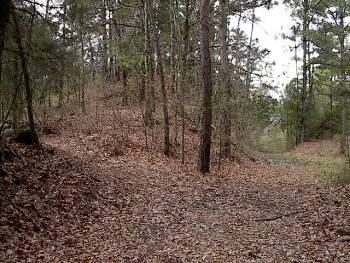
The crest of
Champion Hill looking north. At the time of the battle, this was the
highest point on the battlefield. Free of trees, the crest provided
Confederates a commanding view of the entire terrain
Locate on Map
|
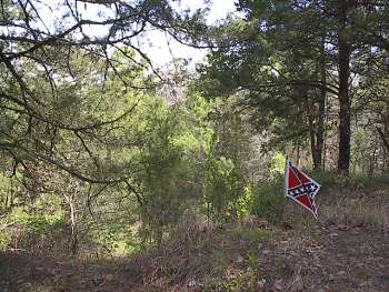
View from the crest of Champion Hill looking north. Although covered with
trees now, in 1863 one could see the entire length of the Jackson Road all
the way to the Champion home, about 800 yards to the north. Here Lee rested
his brigade to counter any Union threat from the north. Later, he would
shift his brigade to the west and leave the crest to be occupied by part of
Alfred Cumming's brigade of Georgia troops. To help Cumming defend the
crest, two guns from the battery near the crossroads were brought up in
addition to two guns from the Botetourt Virginia battery that was already
there. A salient was now formed in the Confederate lines with one line
running northwestward from the crest and the other running south all the way
to the Raymond Road. In all, the Confederate line of battle stretched some
four miles
Locate on Map
|
 |
||
|
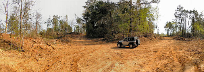
(March 2016) Enlarge Old Jackson Road, Crest of Champion Hill after clear-cutting. View centered on southwest. The Jackson Road is to the left of the Champion Hill crest in center of the picture. The path at right was made by the clear-cutting vehicles |
||
 |
||
|
(March 2016) Enlarge West side of the crest of Champion Hill. The path at right was made by the clear-cutting vehicles. The Jackson Road is to the left out of the picture |
||
 |
 |
|
|
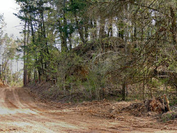
(March 2016) Enlarge Crest of Champion Hill, looking southwest |
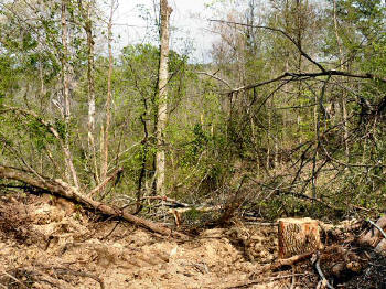
(March 2016) Enlarge Looking northeast from Jackson Road near the crest of Champion Hill |
|
 |
 |
|
|
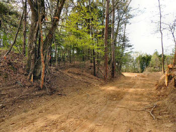
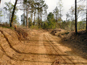
(March 2016) Enlarge Old Jackson Road at the crest of Champion Hill. View looking northwest |
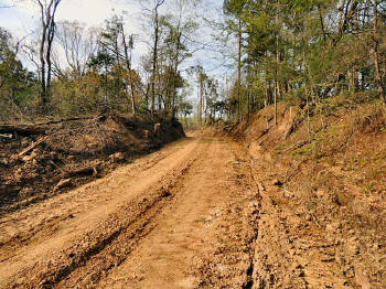
(March 2016) Enlarge Old Jackson Road southeast of the crest of Champion Hill. The road is leading to the Crossroads. The bend ahead can be seen in the picture below |
|
|
|
||
 |
||
|
(March 2016) Enlarge Old Jackson Road north of the Crossroads. The bend ahead leads to the crest of Champion Hill |
||
| Deployment Page1 Page2 Page3 Page4 Page5 Page6 Next | ||
 |