| Champion Hill Home |
| Civil War Album Home |
| Return to Yazoo Pass - Siege of Vicksburg |
![]() hen Stephen D. Lee learned of the
presence of the bulk of the Union army bearing down the Jackson Road toward
the crossroads, he immediately ordered his brigade to deploy about 800 yards
to the north on what was the crest of Champion Hill, the highest point of
the battlefield. From this vantage point, Confederates had a commanding view
of the Jackson Road all the way to the Champion House, which had by this
time been converted into the Federal headquarters. Also, the hill provided a
sweeping view of the landscape north of the Confederate line which, if
Yankee troops were to deploy, they would always be vulnerable to the
Southerners on the high ground. Division commander Carter L. Stevenson
strengthened Lee's position with the brigade of
Alfred Cumming, which he deployed on Champion Hill. Lee shifted his brigade
to the right along a slight wooded ridge which ran roughly to the northwest.
Finally, another brigade in Stevenson's division,
that of Seth M. Barton, was placed on ridge to Lee's
left. Barton's Georgians constituted the extreme left of the Confederate
army at Champion Hill.
hen Stephen D. Lee learned of the
presence of the bulk of the Union army bearing down the Jackson Road toward
the crossroads, he immediately ordered his brigade to deploy about 800 yards
to the north on what was the crest of Champion Hill, the highest point of
the battlefield. From this vantage point, Confederates had a commanding view
of the Jackson Road all the way to the Champion House, which had by this
time been converted into the Federal headquarters. Also, the hill provided a
sweeping view of the landscape north of the Confederate line which, if
Yankee troops were to deploy, they would always be vulnerable to the
Southerners on the high ground. Division commander Carter L. Stevenson
strengthened Lee's position with the brigade of
Alfred Cumming, which he deployed on Champion Hill. Lee shifted his brigade
to the right along a slight wooded ridge which ran roughly to the northwest.
Finally, another brigade in Stevenson's division,
that of Seth M. Barton, was placed on ridge to Lee's
left. Barton's Georgians constituted the extreme left of the Confederate
army at Champion Hill.
By this time, the Confederate battle line stretched some four miles
and was in the shape of a number "7"
with Loring's division on the right along the
Raymond Road, Bowen's division in the center, and Stevenson's division on
the left. The Southerners held good defensive positions along all three
roads � Raymond, Middle, and Jackson � yet they were severely overextended,
especially on the right.
Meanwhile, on the Union side, the two divisions that the Confederate
scouts spotted near the Champion home were those of John A. Logan and
Alexander P. Hovey. Although both were tactically under command of James B.
McPherson during the battle of Champion Hill, Hovey was actually part of
McClernand's corps. Hovey arrived on the scene
first and noticed the concentration of Confederates along a ridge to the
south. He immediately deployed his division
astride the Jackson Road. Logan, who came up shortly after Hovey, deployed
to Hovey's right in the gentle fields west of the
Jackson Road. Grant was on site by this time, and he set up headquarters in
the vacant Champion house, the family having departed earlier that morning.
He immediately demanded Hovey and Logan to advance, and he made sure his
wagon trains pulled off to the side of the road to provide the last division
of Marcellus M. Crocker an unimpeded march to the battlefield. With battle
flags unfurled, two Federal divisions began their march against the
Confederates posted on Champion Hill and the adjacent ridge around 10:30.
The battle of Champion Hill had commenced in earnest.
Confederate Deployment, May 16
 |
 |
|
|
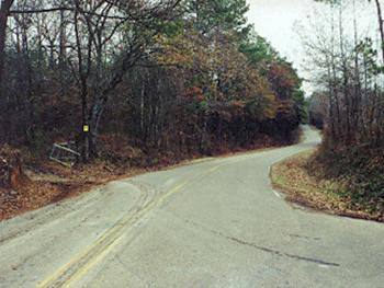
As the Confederate army began retracing their march of the previous day, Pemberton relocated his headquarters to the home of Isaac Roberts on the Ratliff Road. Located about one quarter mile south of the crossroads, the Roberts house was in an ideal spot for Pemberton to oversee his army's retreat. Although the house survived the war, it would eventually collapse in the early 1990s. The house was located on the small rise behind the road in the picture above. The road shown is the Ratliff Plantation Road looking south Locate on Map |
This
is a close-up shot of the area that the Roberts house once stood. The
cistern which is still visible today is a guide to the actual location
of the house. It would be located to the left of the photograph.
Pemberton was here when he received word from Lt. Col. Pettus' men
that the Federals were in force on the Jackson Road
Locate on Map |
|
 |
 |
|
|
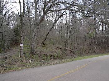
Photograph of the crossroads at Champion Hill looking east down the
Middle Road. The Ratliff Road is at right and the Jackson Road can be
seen to the left near the metal gate. When General Stephen D. Lee
received word of a Union presence on the Jackson Road, he moved his
brigade from the crossroads up the Jackson Road to occupy the
commanding crest of Champion Hill
Locate on Map
|
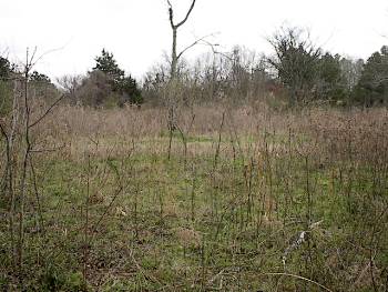
This section of ground pictured above was a cornfield during the battle where Confederates posted artillery to guard the crossroads from the Union advance down the Middle Road. Later, two of the cannon were hauled up the Jackson Road and placed on the crest of Champion Hill to bolster the Confederate left. The Jackson Road trace can be seen in the left of the picture and the Billy Fields Road is in the foreground. The view is looking to the northeast Locate on Map |
