 |
 |
|||
|
(March 2010)
Enlarge
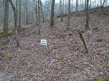
This is a portion of the old road used at Crooked Creek by Forrest &
Streight on the raid. The old road was an old Indian trade route trail and
was considered the main highway through these parts back in 1863. This
road is located at the bottom of the ravine facing the creek. The gun pits
are along this side of the ravine to the left and right of the old road |
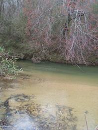
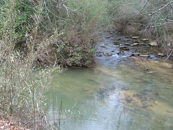
(March 2010) Enlarge Crooked Creek |
|||
|
|
||||
 |
 |
|||
|
|
|||
 |
 |
|||
|
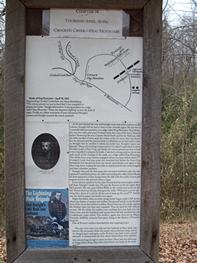
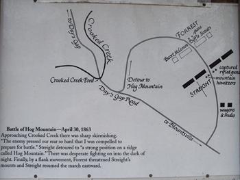
(March 2010) Enlarge Battle of Hog Mountain map |
(March 2010) Enlarge Crooked Creek |