 |
 |
|
|
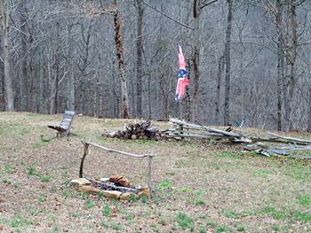
(March 2010)
Enlarge
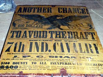
Draft poster |
(March 2010) Enlarge Crooked Creek Battlefield Entrance: The path to the portion of the battleground you can walk is to the right of this photo. Crooked Creek is down the ravine directly behind this view |
|
|
|
||
 |
 |
|
|
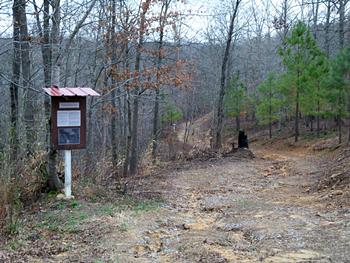
(March 2010) Enlarge Battlefield Interpretive Marker & Road: The first interpretive marker encountered and the path winding parallel with Crooked Crook along the top of the ravine |
(March 2010) Enlarge |
|
 |
 |
|
|
(March 2010) Enlarge Battle description |
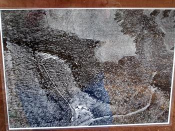
(March 2010) Enlarge Battleground Overview: An overhead photo of Crooked Creek Battle Ground. The main county road to the museum and battleground can be seen coming into the bottom of the overhead and veering to the right. The group of buildings at the lower center in a semi-circle are the museum and historic buildings. The dirt path through the Battleground can be seen winding along Crooked Creek (somewhat hidden by the surrounding trees) and loops around coming up behind the museum buildings |