|
Photos/text courtesy of Webmaster
unless otherwise noted For any use of these photos contact Webmaster
Grant's March Page1
Page2
Page3 Page4
Page5
Page6
|
|
Grant's March in Louisiana Page6
|
Photos/text courtesy of Webmaster
unless otherwise noted For any use of these photos contact Webmaster
Grant's March Page1
Page2
Page3 Page4
Page5
Page6
|
|
 |
| (March 2009) Enlarge Dunbar's Plantation West |
 |
 |
|
|
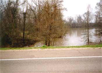
(March 1997) Negro (wartime Nigger) Bayou. US-65, � mile north of Louisiana SH-898. View looking west. Federals constructed a bridge across the bayou just west of the highway. Bayou Vidal in background |
(March 2009) Enlarge Negro Bayou 12 years later |
|
|
|
||
 |
 |
|
|
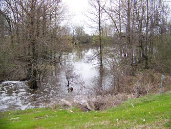
(March 2009) Enlarge Another view of Negro Bayou, looking southwest |
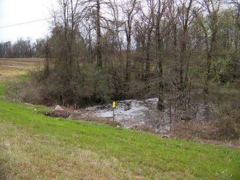
(March 2009) Enlarge Hovey Cuts a Road interpretive marker. Junction
of US-65 and Louisiana SH-898 |
|
 |
 |
|
|
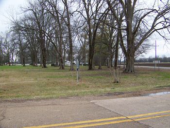
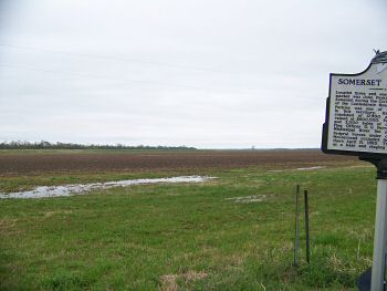
(March 2009) Enlarge
Somerset Plantation interpretive marker.
Junction of US-65 and Louisiana SH-605.
View looking east |
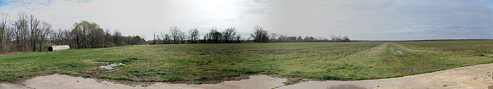
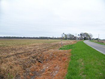
(March 2009) Enlarge Approximate location of Holt's Bayou Federal
bridge site. The bayou no longer exists. SH-608, 1 1/2 mi. east of
SH-605, looking east |
Grant's March Page1 Page2 Page3 Page4 Page5 Page6 Page7 Page8 Page9 Next
Return to Yazoo Pass-Siege of Vicksburg Return to Vicksburg Campaign, a Virtual Tour
![]()