|
Photos/text courtesy of Webmaster
unless otherwise noted For any use of these photos contact Webmaster
Grant's March Page1
Page2
Page3 Page4
Page5
Page6
|
|
Grant's March in Louisiana Page5
|
Photos/text courtesy of Webmaster
unless otherwise noted For any use of these photos contact Webmaster
Grant's March Page1
Page2
Page3 Page4
Page5
Page6
|
|
 |
 |
|
|
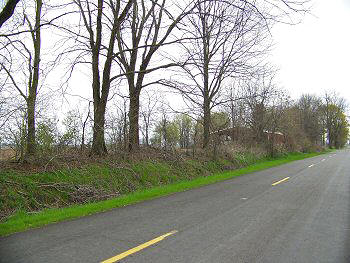
(March 2009) Enlarge Joan Plantation site, home of Josiah Stransbrough. Federals bivouacked here the night of April 2. SH-603, 2 1/2 mi. south of Richmond markers |
(March 2009) Enlarge Site of T. C. Holmes' Trinidad Plantation. SH-603, 5 1/2 mi. south of Joan Plantation site |
|
 |
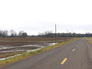
| (March 2009) Enlarge Site of T. C. Holmes' Trinidad Plantation. Federals bivouacked here the night of April 4 |
 |
 |
|
|
(March 2009) Enlarge Sturget Plantation site. Following McClernand's advance, McPherson's XVII Corps bivouacked here the evening of April 26. SH-603, 5.3 mi. south of Holmes Plantation site |
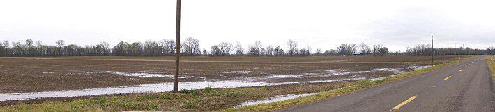
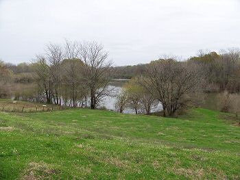
(March 2009) Enlarge Confluence of Roundaway Bayou and Bayou Vidal. View from the levee just south of Rt. 603. Roundaway Bayou flows from the left and continues in the distance approximately 2 mi. to wartime Palmyra Bend of the Mississippi River at the site of New Carthage. Bayou Vidal is to the right. SH-603 2 mi. south of Sturget Plantation site or 6 mi. east of US-65. This area was heavily flooded during Grant's March |
|
 |
 |
|
|
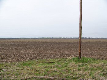
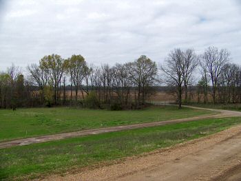
(March 2009) Enlarge Pointe Clear site (Smith's Plantation) is in the distance across Rt. 603. The view is looking north from the levee. SH-603 2 mi. south of Sturget Plantation site or 6 mi. east of US-65 |
(March 2009) Enlarge
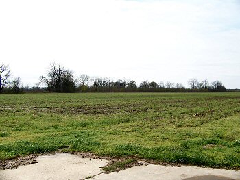
Dunbar's Plantation site on Mill Bayou. A Federal outpost
was located here. Private Property near the confluence of Mill Bayou and
Bayou Vidal |
Grant's March Page1 Page2 Page3 Page4 Page5 Page6 Page7 Page8 Page9 Next
Return to Yazoo Pass-Siege of Vicksburg Return to Vicksburg Campaign, a Virtual Tour
![]()