|
Photos/text courtesy of Webmaster
unless otherwise noted For any use of these photos contact Webmaster
Grant's March Page1
Page2
Page3 Page4
Page5
Page6
|
|
Grant's March in Louisiana Page2
|
Photos/text courtesy of Webmaster
unless otherwise noted For any use of these photos contact Webmaster
Grant's March Page1
Page2
Page3 Page4
Page5
Page6
|
|
 |
 |
|
|
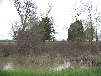
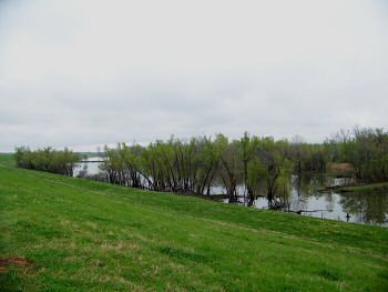
(March 2009) Enlarge Oakgrove Plantation site. Thomastown Road near Milliken's Bend. View looking west across Walnut Bayou |
(March 2009) Enlarge Oakgrove Plantation site, looking north. Here at Oakgrove on June 7, 1863, Confederate General John Walker split his forces to attack Milliken's Bend and Young's Point |
|
|
|
||
 |
 |
|
|
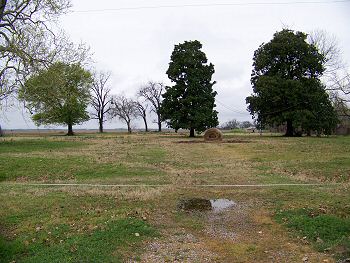
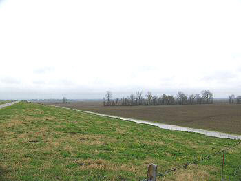
(March 2009) Enlarge Area at Young's Point. View from Mississippi River levee. Near the Vicksburg-Tallulah regional airport |
(March 1995) Young's Point in 1995. Levee in background |
|
 |
 |
|
|
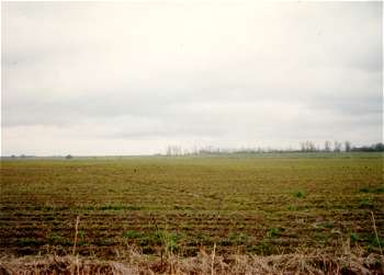
(March 2009) Enlarge Former bed of the Mississippi River near Young's Point (wartime Tuscumbia Bend) |
(March 2009) Dalkeith Plantation marker. Thomastown Road, 7 miles north of US-80 |
Grant's March Page1 Page2 Page3 Page4 Page5 Page6 Page7 Page8 Page9 Next
Return to Yazoo Pass-Siege of Vicksburg Return to Vicksburg Campaign, a Virtual Tour
![]()