| Battle of Raymond
Page3 Raymond Page1 Page2 Page3 Page4 Page5 Page6 Page7 Page8 Page9 Next |
||
 |
 |
|
|
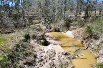
(March 2005) Enlarge Fourteenmile Creek from SH-18 bridge, looking west. Old SH-18 (Utica Road) bridge in background |
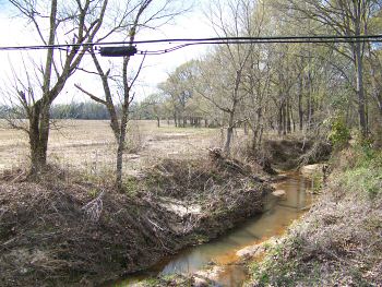
(March 2007) Enlarge West view of Fourteenmile Creek from Old SH-18 Bridge, near the Raymond walking/interpretive trail |
|
 |
 |
|
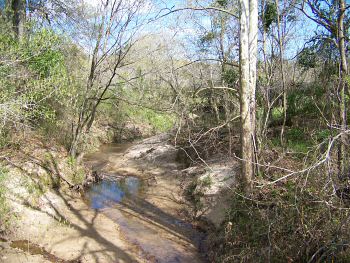
| (March 2007) Enlarge View from the bridge looking east |
(March 2012)
Enlarge
Artillery Ridge Links: 1. Raymond Battlefield Doubles in Size 2. Battlefield Detectives - Friends of Raymond 3. Park Day 2011 - Friends of Raymond 4. Mini-Park Day at Raymond |
|
 |
||
|
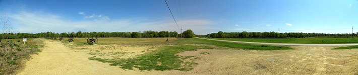
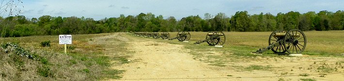
(March 2012) Enlarge Artillery Ridge. Fourteenmile Creek runs across the picture in the tree line at edge of the open fields. The old and new bridges across the creek are in the center of the picture |
||
 |
||
| (March 2012) Enlarge Artillery Ridge | ||
 |
||
|
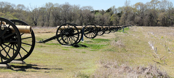
(May 17, 2015)
Enlarge
Artillery Ridge |
||
 |
||
| (February 2020) Artillery Ridge | ||
 |
||
|
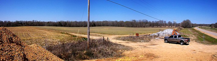
(March 2005) Enlarge Artillery Ridge before placement of the canon |
||