| Champion Hill Home |
| Civil War Album Home |
| Return to Yazoo Pass - Siege of Vicksburg |
 |
 |
|
|
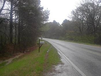
This
photo was taken on the Brownsville Road
approximately 2 and a half miles northeast of the railroad tracks in
Edwards, or about 2 miles northeast of the junction of Jackson
and Brownsville Road in the previous
picture. It was near this area that the
wagon train was brought to a halt and ordered to reverse course and
take the Bridgeport Road to the Confederate
defenses at the Big Black River. The view
is looking to the northeast |
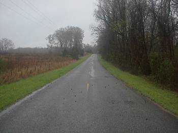
Shot
of the Bridgeport Road about three quarters of
a mile east of the Big Black River. The Confederate wagon
train took this road on their way to the Big
Black while constantly being harassed by roving
Federal cavalry. The view is looking back to the east toward
Edwards |
|
 |
||
|
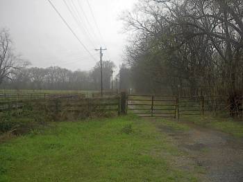
This
picture, looking west, shows the Bridgeport
Road near where it crossed the Big Black River in 1863. The Big Black
River is behind the treeline in the distance |
