| Champion Hill Home |
| Civil War Album Home |
| Return to Yazoo Pass - Siege of Vicksburg |
 |
 |
|
|
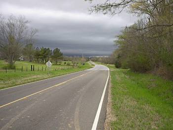
View of the
Raymond Road looking west toward Edwards. The Lower Bridge Road
can be seen joining the Raymond Road on the right side of the
picture |
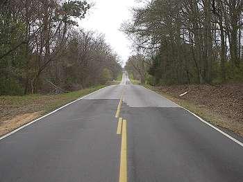
This photograph was taken on the Raymond Road looking toward the Union approach during the Confederate retreat. The spot marks the position of the last Confederate line defending the retreat to Edwards. Confederate General Lloyd Tilghman was killed on this ridge while attempting to hold the Union soldiers at bay while the army moved to safety Locate on Map |
|
 |
 |
|
|
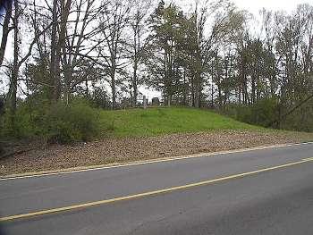
The
Tilghman Monument as seen from the Raymond Road. General Lloyd
Tilghman was killed on this high ground from
shrapnel from a Union artillery shell. His
body was taken to the nearby Hiawatha (Yeiser
House) where he was
pronounced dead. A statue stands at the Vicksburg National
Military Park that captures Tilghman's
final stand |
Enlarge Enlarge-2
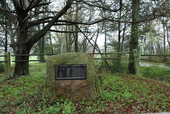
The Tilghman
Monument Don Worth photos |

