| Champion Hill Home |
| Civil War Album Home |
| Return to Yazoo Pass - Siege of Vicksburg |
 |
 |
|
|
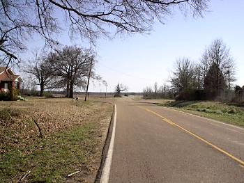
Bowen's
retreat from the lower bridge took his division off country until they
ran into the Mt. Moriah Road south of Edwards. From that road they
took the Smith Station Road which wound its way west until it
intersected the Jackson Road near the Big Black River. This photo
shows the intersection of the Mt. Moriah Road and the Smith Station
Road. The Smith Station Road is the one to the far right. Bowen's
forces would have moved in this direction on route to the Big Black.
The view is looking south |
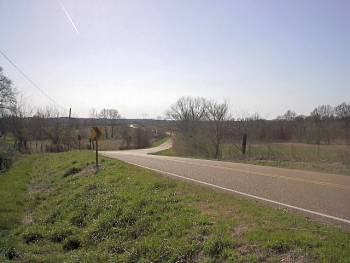
This photo shows the Smith Station Road roughly one mile west of the Mt. Moriah Road. The view is looking westward Locate on Map |
|
 |
 |
|
|
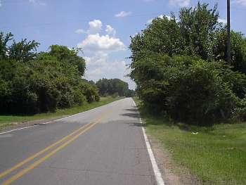
This
photograph was taken from the intersection of the Jackson Road (now
U.S. Highway 80) and the Smith Station Road. The road in the picture
is the Smith Station Road and the railroad that ran from Jackson to
Vicksburg can be seen in the far distance. The view is looking south |
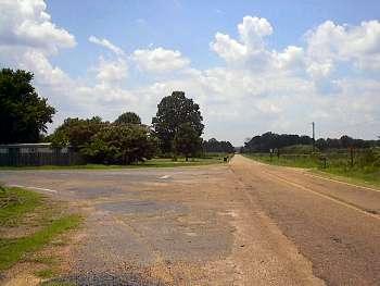
Intersection of the Smith Station Road and the Jackson Road (now U.S. Highway) looking west down Highway 80. The Confederate defenses at the Big Black River are about a mile in the distance Locate on Map |
