|
When Lt.
Col. Pettus's men made it to the crest of Champion Hill, they found that
their vantage point was not satisfactory. They decided to move about 500
yards to the north to a small knoll that overlooked the Champion home.
There they saw a powerful Union column under James B. McPherson that was
moving south toward the Crossroads. If the Federals continued unabated,
they would hit the Confederates in the flank as they were making the left
turn at the crossroads. They fired on the column and then hurried back to
the crossroads to inform Lee of these unforeseen developments. The
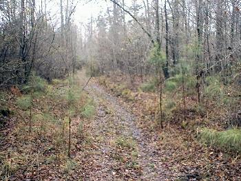
photograph was taken just to the west of the Champion Hill Missionary
Baptist Church looking south. Lt. Col. Pettus and his men were about 300
yards to the south down the road trace
Locate on Map
|
|
View of the
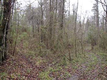
knoll looking south. A portion of the knoll is visible to the left of the
road trace. The Confederate reconnaissance fired on the Union forces around
the Champion house from near this location
Locate on Map
 Panorama
 |


