| Champion Hill Home |
| Civil War Album Home |
| Return to Yazoo Pass - Siege of Vicksburg |
 |
||||||
|
|
||||||
|
Area Map | |||||
 |
 |
|
|
At the same
time that the action was taking place on the Raymond Road, Union General
McClernand was steadily advancing his portion of the Union army down the
Middle Road. Under his command were the two
divisions under Peter J. Osterhaus and Eugene A. Carr. While the early part of their march had been
relatively easy, closer to the crossroads the Middle Road began to ascend a
significant ridge which was flanked by dense underbrush on either side of
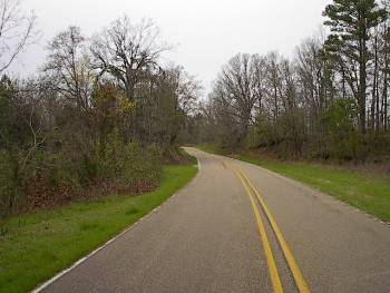
the road. Around 9 a.m., they were fired upon by Confederate pickets. The
photograph above shows the approximate location of the Confederate advanced
units. The view is looking east toward the Union approach |
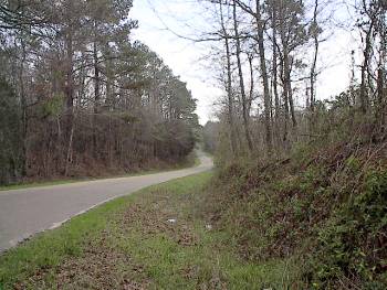
After encountering the Confederate pickets, McClernand's forces proceeded cautiously westward. About one quarter mile west of the site of the initial skirmish, they came upon a roadblock which Confederates had constructed earlier that morning. Because of the terrain and the advantageous position of the roadblock, the Federal advance on the Middle Road came to a halt. The photograph above shows the approximate location of the Confederate roadblock on the Middle Road. The view is looking west Locate on Map |
|
 |
 |
|
|
This picture was taken from the vital crossroads looking east down the Middle Road. The Confederate army was supposed to take a left-hand turn here on their way to join Johnston, so keeping the crossroads protected from an assault on the Middle Road was essential. The roadblock in the previous photograph was located approximately one third of a mile down this road Locate on Map |
As
Confederate General Stephen D. Lee's brigade took control of the crossroads
during their march, Lee wanted to make sure it was protected from any
assault from the north down the Jackson Road. He sent a group of men under
Lt. Col. Edmund Pettus, the brother of the Mississippi governor, to look for
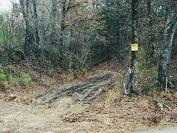
any evidence of a Union force coming down the Jackson Road. This picture
shows the trace of the Jackson road as it intersects the crossroads |
| Contact Page1 Page2 Page3 Page4 Next |
 |