| Champion Hill Home |
| Civil War Album Home |
| Return to Yazoo Pass - Siege of Vicksburg |
 |
||||||
|
|
||||||
|
Area Map | |||||
 |
 |
|
|
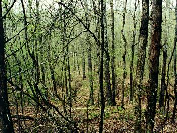
View from the
Confederate line on Champion Hill. The
picture above shows the Confederates point of view
as the Federal troops advanced toward their lines.
It was taken from the same spot where Bruce was standing in an
earlier photo, this time looking back to the north. George
F. McGinnis, a brigade commander in Hovey's
12th Division, was responsible for the Union
attack in this particular sector of the battlefield. During the
assault, McGinnis ordered his troops to advance a
little and then fall to the ground under the cover
of the thick foliage and ravines that ran across the slopes
of the hill. After the Confederate fire went over their heads,
they resumed their march up the hill. It was
by this method that McGinnis' men were able
remove Cumming's men from Champion Hill
with only slight casualties. The ravines and
small hills in which the Union soldiers hid in are clearly
visible in the photograph above
Locate on Map
|
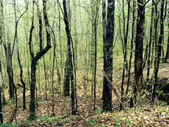
Another shot from near the
Confederate line on Champion Hill, this time looking to the northeast. Hovey's forces under McGinnis swept up the slopes in the middle of the
picture toward the guns the Confederates had posted on the crest of Champion
Hill. The crest would be located behind the camera to the right
Locate on Map
|
|
 |
 |
|
|
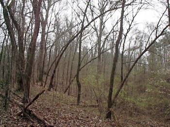
This picture was
taken approximately 150 yards
yards west of the previous picture further down the Confederate lines
but still close to Champion Hill. It is looking back to the southeast toward
the crest of the hill. The crest, the highest point on the battlefield, can
be made out by the dark clump of trees in the middle of the picture. The
Confederates would have been facing the left-hand side of the photograph as
they tried to slow the assault |
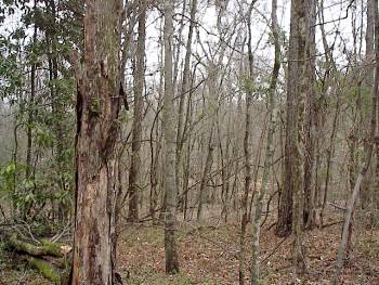
Taken about 400 yards west of the crest of Champion Hill on the ridge in which Stephen D. Lee's men were deployed, this photograph shows the Confederate point of view as Logan's troops attacked their lines. During the fight, on this section of the battlefield, Lee's men were deployed in a wooded area but had a clear, downward-sloping field to their front. Even with the tree cover this shot has some depth and it is apparent that the terrain on Logan's front (the Union right) was noticeably more gentle than that of Hovey. Here the Confederates had a better line of fire, and the Union troops had less natural barriers to shield themselves. Consequently, Lee's men here were able to hold their position even as the Confederate line on their right and left gave way Locate on Map |
| Assault Page1 Page2 Page3 Page4 Page5 Page6 Next |
 |