| Champion Hill Home |
| Civil War Album Home |
| Return to Yazoo Pass - Siege of Vicksburg |
 |
||||||
|
|
||||||
|
Area Map | |||||
 |
 |
|
|
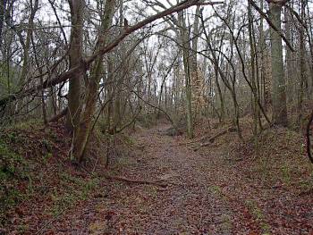
View of the Jackson Road trace taken about 50 yards south of the last two photographs. In this picture, it is obvious that the road is ascending a significant hill. At this point, you would actually be on Champion Hill. The crest is 350 yards ahead. Again, the picture was taken looking to the south Locate on Map |
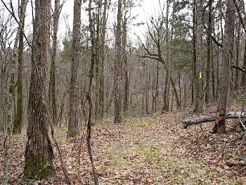
View of the terrain east of the Jackson Road trace. The photograph was taken
about 160 yards north of the crest of Champion Hill looking to the south.
The left side of Hovey's lines led by Col. James R. Slack navigated the
ravines and thick underbrush on the east side of Champion Hill
Locate on Map
|
|
 |
 |
|
|
Enlarge
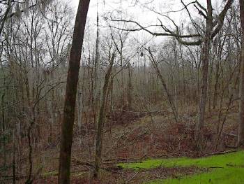
This picture
shows the treacherous terrain of the battlefield west of the Jackson Road
trace very well. This ground was moved on by Hovey's
men, which had a much rougher advance than did the brigades on the far right
of the Union lines under Logan. The view is looking westward down the
length of Hovey's lines. The fresh cutover allows
for a similar view to that of the Union army in 1863
Locate on Map
|
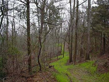
Another view
of the terrain taken from a point a few yards south
of the camera position in the previous picture but
this time looking north back toward the Champion house area. The embankment
in the far right of the picture is the bank along the Jackson Road trace,
which would be just to the right of the picture |
| Assault Page1 Page2 Page3 Page4 Page5 Page6 Next |
 |