|
Raymond Walking/Interpretive Trail Page5 Page1 Page2 Page3 Page4 Page5 Page6 Next |
||
 |
 |
|
|
Enlarge Interpretive
Marker-9: A Soldier's Battle |
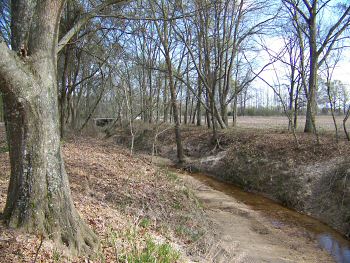
Enlarge Site of the old Little J Railroad crossing of Fourteenmile Creek, view looking south. This location is a short distance west of the soldier's battle marker |
|
 |
 |
|
|
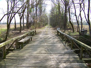
Sign in previous photo |
Enlarge
Interpretive
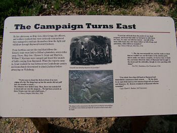
Marker-10: A Campaign Turns East |
|
 |
 |
|
|
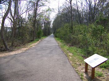
Enlarge Interpretive Marker-10: A Campaign Turns East |
Enlarge
Raymond Battlefield Walking/Interpretive Trail Battle
Site 11: McPherson Ridge (off trail) |