 |
 |
|
|
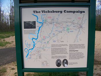
Enlarge Interpretive Sign-3: Vicksburg Campaign |
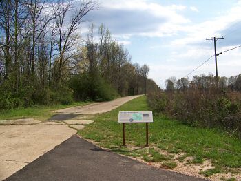
Enlarge Interpretive Sign-4: The Little J Railroad |
|
 |
 |
|
|
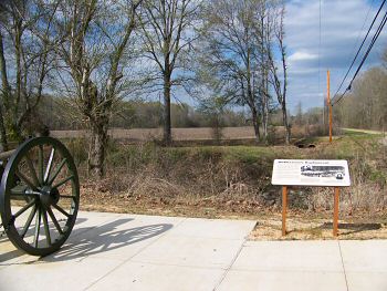
Enlarge Interpretive Marker-5: Gregg's Battle Plan |
Enlarge Interpretive
Marker-5: Gregg's Battle Plan |
|
 |
 |
|
|
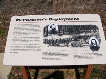
Enlarge Interpretive Marker-6: McPherson's Deployment |
Enlarge Interpretive Marker-6: McPherson's
Deployment |