|
(2004)
Richmond
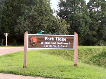
National Battlefield Park (Fort Hoke)
Fort Hoke marks the deepest penetration of the Union attack south
of Fort Harrison. Late on September 29, Federal troops captured the fort,
only to abandon it shortly afterward while consolidating their position
around Fort Harrison. This site became a crucial stronghold in the new
Confederate line developed after the battle that connected Fort Hoke to
Fort Johnson. It is named for Confederate Major General Robert F. Hoke of
North Carolina. NPS
Fort Harrison Tour Guide
|
|
(2004)
Richmond
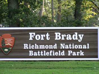
National Battlefield Park (Fort Brady)
A well-preserved fortification on the James
River, was built by Union engineers after the battles of late September,
1864. It kept Confederate gunboats bottled up to the north, and anchored
the Union line that extended to Fort Harrison and beyond
My Great-great-grandfather
was stationed here with the 1st CT HA. Lee broke through at Fort Stedman
during the siege of Richmond and Petersburg only to have the hole closed
by members of the 1st CT HA and other units. Two weeks later Lee
surrendered at Appomattox Courthouse. NPS Fort Harrison Tour Guide |
|
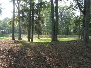
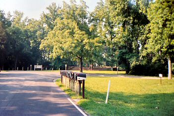
(July 2006) Richmond
National Battlefield Park (Fort Brady)
This is a photo taken in July of 2006 of the entrance to Fort Brady, a
key artillery position constructed by the Union Army after the Sept 29,
1864 battles. You can see the earthen fort and sign for Fort Brady in the
background of the photo. Fort Brady was the anchor for the Union Army's
line from fort Harrison. Although it is impossible to surmise from the
photo, the James River is just beyond the fort and out of view. The 1st
Connecticut Heavy Artillery Regiment dueled with Confederate Gunners from
here at Fort Brady
Photo by William Bozic |
|
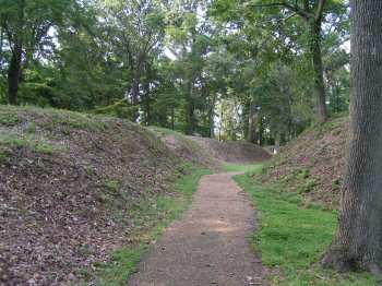
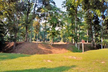
(July 2006) Richmond
National Battlefield Park (Fort Brady)
This photo shows the walls of Fort Brady taken from outside the East
side of the Union Fort once occupied by the 1st Connecticut Heavy
Artillery Regiment. Trees have grown and foliage is lush so you can not
see the James River which lies directly in front.
There is a sign from the National Park Service asking visitors to not
climb on the earthen entrenchments. Even though the height is much reduced
by the years, the walls are still high and wartime photos on National Park
Service interpretive markers show an extremely strong Union position
Photo by William Bozic |