Alexandria/Pineville Page5
This page courtesy of
William Bozic, Houston, TX |
|
|
 |
|
 |
|
(March 2008)
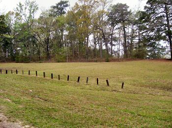
Enlarge Fort
Buhlow. The wood posts in the
foreground are modern. The wooded, overgrown area in the background is
where the fort is located
The photo is taken from the East looking to the West, so you see the
Eastern side of Fort Buhlow |
|
(November 27,
2010)
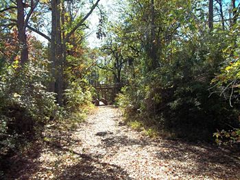
Enlarge
Entrance to Fort Buhlow
This opening in the fort appears after a winding upward grade and is
opposite Lake Buhlow. The path is dirt and gravel but becomes a wooden
pathway once deeper inside the fort |
|
|
|
|
 |
|
 |
|
(November 27,
2010)
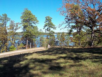
Enlarge
Lake Buhlow
This view is from the raised earth of the glacis of Fort Buhlow looking
across Lake Buhlow at the current VA Hospital which is located near the
site of the CSA Hospital and graveyard |
|
(November 27,
2010)
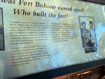
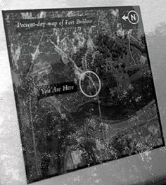
Enlarge Who
was Fort Buhlow named after? Who Built the fort?
This is an example of the interpretive markers found in Fort Buhlow. To
answer the first question: Lt. Alphose Buhlow. According to the
interpretive marker the answer to second question is hundreds of CSA
soldiers and 44 slaves. Interpretive markers in the fort seemed to be
framed in a question format similar to this example |
|
|
|
|
 |
|
 |
|
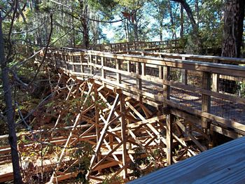
(November 27,
2010)
Enlarge
Fort Buhlow's Tour Route
Wooden bridges and elevated walkways are the norm for the tour around
the fort. When we visited on November 27, 2010 there was no defined
route, just walk at will and explore |
|
|
(November 27,
2010)
Enlarge
Aerial View of Fort Buhlow
The fort is the center of the circle. You may also notice the Red River
and Allen Bridge which are near the fort |
|