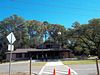
|
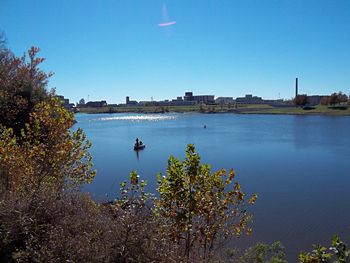
(November 27, 2010) Enlarge
Red River Looking from Pineville to Alexandria
This is a photo taken on Saturday Nov 27, 2010 in the morning on a cool
but clear day looking from the Bailey's Dam overlook on the Pineville
side of the Red River to Alexandria, Louisiana across the Red River
During the Red River Campaign, Rear Admiral David Dixon Porter's fleet
was stranded here due to extremely low water levels. Currently there are
a series of locks to make the river easier to traverse, so it is
difficult to visualize the low water level in the Spring of 1864 from
the current photo. The city of Alexandria was burned to the ground by
Federal troops on their retreat so all buildings in this view post-date
the war
William Bozic photo |
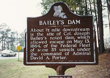
|
(November 27, 2010) Enlarge
The Dam Works
This interpretive marker at the Bailey's Dam overlook tells of the
success of Bailey's Dam which saved the Federal fleet
William Bozic photo
|
|
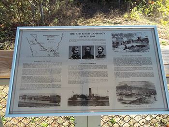
(November 27, 2010) Enlarge
The Red River Campaign March 1864
This interpretive marker largely gives information about the naval
operations in the Red River Campaign. This marker is located at the
Bailey's Dam overlook pavilion
William Bozic photo |
|
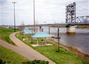
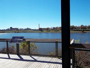
(November 27, 2010) Enlarge
Bailey's Dam Overlook
There are panels and a covered pavilion on the shore of the Red River.
Near this site was a swing-dam designed by Lt. Col. Joseph Bailey which
allowed the water levels to rise high enough for the Union fleet to
escape
As a sidelight, Alexandria is located in Rapides Parish and the parish
name is for the rapids in the river which would undoubtedly be a hazard
to shipping. Today dredging and modern locks have changed the river so
only the name is a reminder of past challenges
William Bozic photo |
