Battle of Big Black River

More Big 
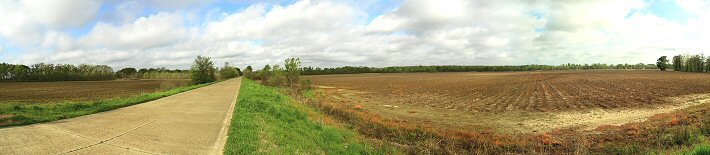
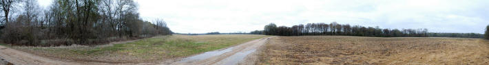
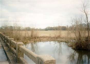
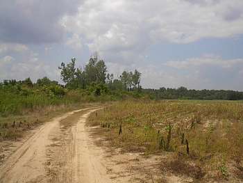
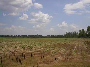
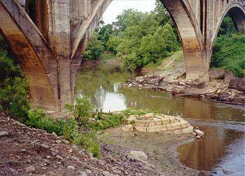
Black River Battlefield Photos
1. June 2001

2. March 2003     Panoramas
3. March 2004 Panorama
4. March 2007
5. June 2014
 
Contributors:
1. Brian Risher, Madison, MS
2. Don Worth, UCLA
3. Webmaster

 
Official Records Map of the Battlefield
 

Battlefield Panoramas

Return to The Vicksburg Campaign, a Virtual Tour
Return to From Yazoo Pass to The Siege of Vicksburg
www.CivilWarAlbum.com Home

Links:
1. Battle Summary: Big Black River Bridge, MS
2. Battle of Big Black River Bridge - Wikipedia
3. Battle of Big Black River Bridge: BattleofChampionHill.org
4. Battle of Big Black River Bridge - Civil War Battle of Big Black
5. Vicksburg National Military Park - Battle of Big Black River


(June 4, 2014) Enlarge  Detail Big Black River Bridge historical marker. Old US-80, approximately 1 mi. east of the Old US-80 Big Black River Bridge. View looking east toward Edwards, MS

Photos:  
Battle Oak
Battlefield in 1864
Big Black River   2   3   4
Blockhouse Site
Center of Confederate Defense   2   3
Confederate Batteries (west bank)
Confederate Left Flank
Confederate Right Flank   2   3
Gin Lake
Gin Lake Levee
Jackson Road Trace
Meander Scar   2
Slough

Southern R/R of Mississippi   2   3
Smith Station
Smith Station Road
Steamboat Bridges   2   3   4
Wartime R/R Bridge (Civil War era)   2
Wartime R/R Bridge Remains   2   3   4   5
   

(5-2011) Enlarge The Confederate defense was about 1800 yards long and ran north and south. The left flank was anchored on the Big Black River and the right flank at Gin Lake, south of the railroad tracks. Old US-80 runs east and west through the center of the battlefield. View is looking north to east across the left of the Confederate defense

 
(3-2012) Enlarge Union assault area, north of railroad
 
(3-2002) Enlarge 360 of Confederate defense and Union assault south of railroad
 
(3-2009) Enlarge Right flank of Confederate defense south of railroad. Don Worth photo
     

(5-2011) Enlarge View from Old US-80 looking northwest across center of battlefield

(3-1995) Big Black Battlefield. View looking southeast from near camera position in previous photo. The Illinois Central Gulf Railroad (wartime Southern Railroad of Mississippi) in right background


(June 23, 2001) Enlarge North view of the battlefield from Old US-80, which runs east and west through the center of the Confederate defense. This view is looking toward the meander scar (trees in distant right background) used by Lawler's brigade before the assault on the Confederate works


(June 23, 2001) Enlarge South view of the battlefield looking toward the camera position in previous photo 


(6-1998) Remains of wartime railroad bridge piers below the modern railroad bridge


(3-2009) Enlarge The Big Black River after heavy rains. Bend in river just above wartime railroad bridge site
 
Don Worth photo

Big Black Page1    Page2    Page3    Page4    Next

Return to Yazoo Pass-Siege of Vicksburg     Return to Vicksburg Campaign, a Virtual Tour