| Battle of Big Black River Page4 | ||
 |
 |
|
|
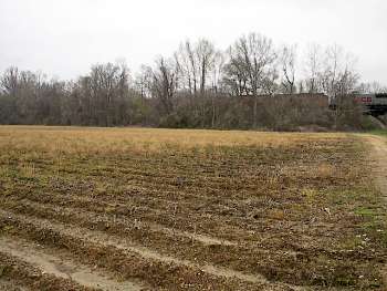
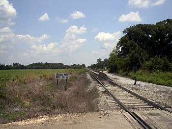
(3-2002) Enlarge Site of the Blockhouse south of the wartime Southern Railroad of Mississippi. Another Blockhouse was located on the north side of the railroad |
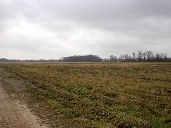
(3-2002)
Enlarge
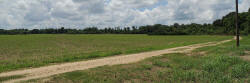
View looking southeast toward the southern anchor of
the Confederate defense at Gin Lake (trees in right background) |
|
 |
 |
|
|
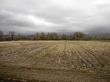
(3-2002)
Enlarge
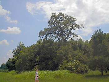
View looking north toward the left flank of the
Confederate defense. The Confederate works were near the trees in left
background |
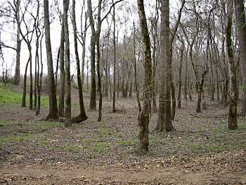
(3-2002)
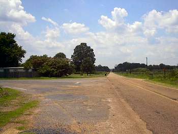
Enlarge Long meander scar which parallels the Big Black River east of the
Confederate defense. From the scar Lawler's brigade assaulted the
Confederate left flank. From here the left flank of the defense is
approximately a half-mile away. The view is looking west toward the
Confederate line. See link below for March 2003 photos of the scar at a
point farther west |

