Battle of Williamsburg, Virginia

Photos/Text courtesy of:
1. William J. Bechmann III, Cincinnati, OH
2. William Bozic, Houston, TX
 
Contact
Webmaster for any use of the following  photos
 
www.CivilWarAlbum.com Home
 
Williamsburg Page1   2   3   4   5   6   Next
Links:
1. Battle Summary: Williamsburg, VA - National Park Service
2. Battle of Williamsburg - Wikipedia
3. Battle of Williamsburg  - Civil War Battles from the Official Records
4. Battle of Williamsburg VA May 5th 1862. Victorious charge of the
5. Virginia Civil War Battle Williamsburg American Civil War

6. Battle of Williamsburg | Official History & Records
Photos:
Battle Map
Bloody Ravine
College of William & Mary
End of the Williamsburg Line
Fort Magruder
Fort Magruder Monument
Longstreet's Position near R/R Tracks
Lord Botetourt Statue
New Quarter Park
New Quarter Park Map
Pocahontas Trail
Quarterpath Road   2
Railroad Tracks
Redoubt 1
Redoubt 2
Redoubt 12   2
Redoubt Park
Wren Building
Interpretive Markers:    
Battle of Williamsburg
Bloody Ravine
End of the Williamsburg Line
Fort Magruder
Fort Magruder Monument
Peninsula Campaign
Quarterpath Road   2
Redoubt 1
Redoubt 2
Redoubt 12
Williamsburg in the Civil War
 
Photos this page courtesy of William Bechmann

(April 2013) Enlarge Virginia State historic marker "Peninsula Campaign" on US 60 (Pocahontas Trail)
  
Enlarged Views: Hit Back Button to return

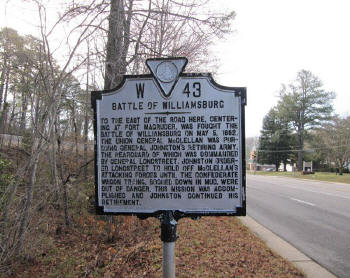
(April 2013) Enlarge Virginia State historic marker "Battle of Williamsburg" on US 60 near the "Bloody Ravine"


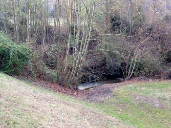
(April 2013) Enlarge The Bloody Ravine - General James "Pete" Longstreet's position near the railroad tracks

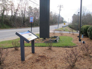
(April 2013) Enlarge Civil War Trails marker on the private property lot of Country Inns and Suites on US 60


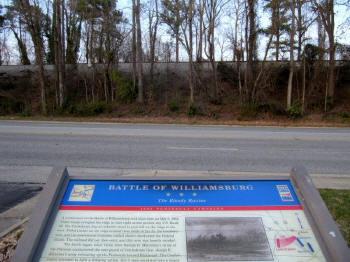
(April 2013) Enlarge Confederate army position of the battle on May 5, 1862


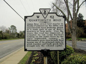
(April 2013) Enlarge Virginia State historic marker "Quarterpath Road" on US 60

Williamsburg Page1   2   3   4   5   6   Next

Site Index     Sites by State Home