|
Battle of Sabine Pass,
Texas Page7 Photos/text this page courtesy of William Bozic, Houston, TX For any use of these photos contact Webmaster |
||
 |
 |
|
|
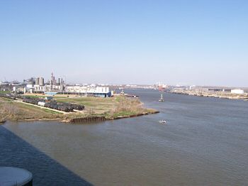
(February 28, 2009) Enlarge Valero Refinery #10. This is located north of Sabine Pass Battleground and must be past in order to arrive at the Sabine Pass Battleground State Park. The left side of the photo is Texas and the right side is Louisiana. At the time of the War Between The States, this deep water region was commercially important and has continued to be in the present. Railroads were vital then and now, too |
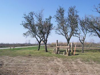
(February 28, 2009) Enlarge Entrance to Sabine Pass Battleground. Note the oil platforms in the background being refurbished. The battlefield is closed due to Hurricane IKE and the town has been wasted, but at one time this was an oasis amid industry where people could relax and reflect |
|
 |
||
|
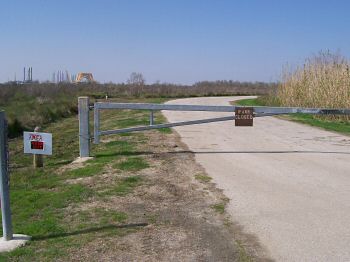
(February 28, 2009) Enlarge Sabine Pass Battleground status 2/28/2009. Hurricane IKE devastated this area. There are no highway markers to direct visitors and the park is closed |