Edwards Ferry, Maryland
The following 1997 photos courtesy of Richard Edling, Philadelphia, PA
Please contact
Webmaster for any use of these photos
 
Home


Edwards Ferry with Historian Craig Swain
 
Links:
1. Edwards Ferry Marker: Historical Marker Database

2. C&O Canal, Edwards Ferry
3. June 27, 1863 – Edward's Ferry, MD:  Manley Stacey Civil War Letters
4. Lockhouse 25 - C & O Canal Trust | Canal Quarters

5. Professor Thaddeus Lowe's Official Report (Part I)
6. Blockhouse Point - Canal Discoveries - Canal Trust
7. The Topographical Engineer Balloon Corps. Reports of Professor Thaddeus S. C. Lowe
8. Chesapeake and Ohio Canal - Wikipedia
9. C&O Canal Association

More C&O Canal related from www.civilwaralbum.com
1. Maryland:
438-foot aqueduct
2. Maryland: Fort Frederick
3. West Virginia: Tow path and Lock 38 near Shepherdstown
 

Edwards Ferry Page1   Page2


(1997) Enlarge Edwards Ferry site on Maryland side of Potomac River. En route to Gettysburg, Union troops crossed here on twin pontoon bridges. Mouth of Goose Creek on opposite bank of river. Union balloon operations based here.

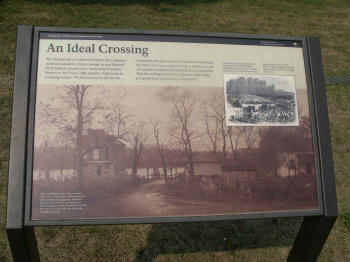
Edwards Ferry Civil War Trails Marker


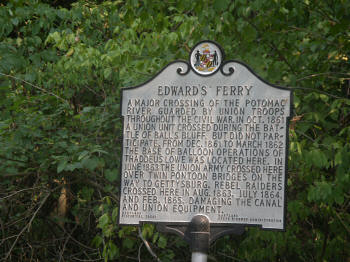
(1997) Edwards Ferry historical marker
 
Select Images to Enlarge - Back Button to Return

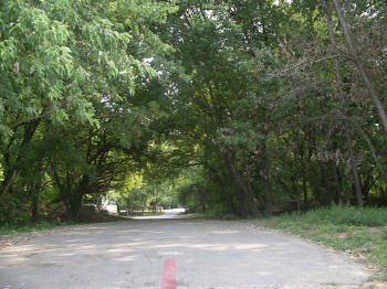
(1997) Edwards Ferry Road. View looking north from river bank


(1997) Detail An Ideal Crossing

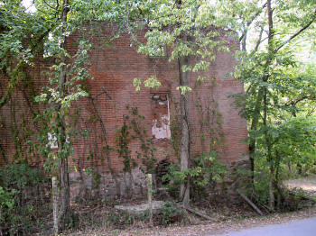
(1997) Jarboe's Store

Link:
1. National Park Service - PEPC - Jarboe Store Stabilization


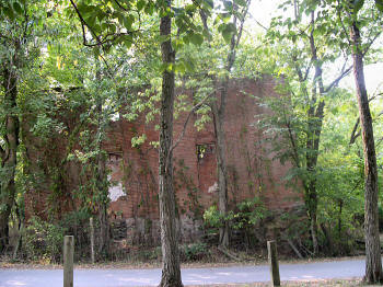
(1997) Jarboe's Store  

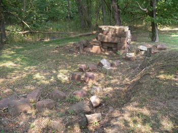
(1997) Remains of structure near ferry site

Edwards Ferry Page1   Page2

Sites by State Home      Site Index