|
Fort Gaines, Alabama February 2011 Page2 Photos/text this page courtesy of Steven Hippensteel, AL Please contact Webmaster for use of these photos |
|||
 |
 |
||
|
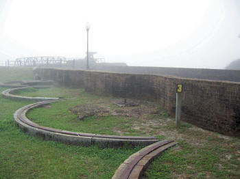
(007) Enlarge (Stop 3) South Flank Firing Stations - The south flank firing stations are well preserved showing where 32-pounder cannons were positioned behind the brick parapet. North of this station rises the chimney from the kitchen, and it's patio lies below |
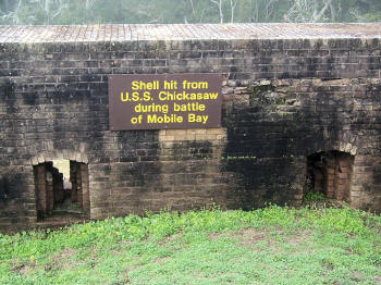
(008) Enlarge Shell hit from U.S.S. Chickasaw during Battle of Mobile Bay |
||
 |
 |
||
|
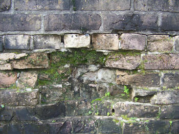
(009) Enlarge Close-up of the damage |
|
||
 |
 |
||
|
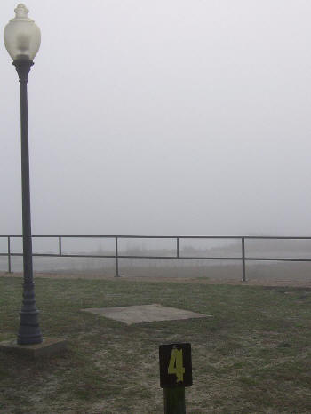
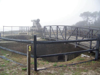
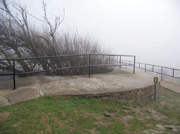
(011) Enlarge (Stop 5) Southeast Bastion - Pointing toward Sand Island lighthouse, the visitor can view where the powerful Union fleet assembled for it's fun past the Forts into Mobile Bay. A lighthouse has been there since 1838. Tow miles from this point the Union supply ship 'Phillipi' was bombarded, burned, abandoned and sunk during the first engagement of the Battle of Mobile Bay. This section of the fort was altered during installation of the disappearing guns at the turn of the century. The tunnel was closed for the construction of an ammunition magazine and the breast high wall running around the roof surface removed to provide a broad field of fire for the disappearing coastal guns. Evidence of rain traps can be seen on the floor |
(012) Enlarge (Stop 6) Ammunition Magazine - This raised earthen section covers part of the extensive network of ammunition magazines built for the coastal batteries. Three air circulation vents were visible to the left |