| Fort Washita November 9, 2004 Page3 |
||
 |
 |
|
|
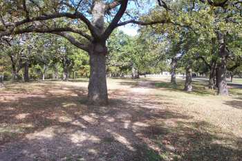
Cobbled walkways and roads were common to frontier posts. Forts were established on a grid system with a central parade ground and tree-lined walks and roads. From the new hospital this road passed the row of officer's quarters, went between the enlisted barracks and commissary, then traveled toward the shops and stables The view is looking north from near the Commanding Officer's Quarters |
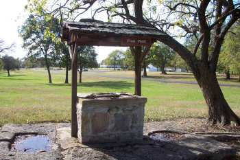
Restored Post Well. A source of adequate water for the men and animals was all important to the location of an army post. This well was dug by soldiers who then lined the walls with rock and stones. Other sources of water included barrels to catch rain water draining from the roofs of buildings and nearby streams or rivers such as the one located to the west of the fort and from which it gets its name: Fort Washita! |
|
 |
 |
|
|
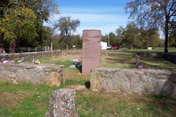
Colbert Family Cemetery, located between the Chickasaw burial grounds on the right and the Post Cemetery |
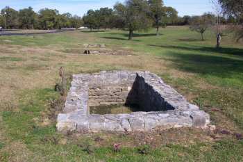
Restored Latrine, east of the Batchelor Officers' Quarters. Two more latrines can be seen in the background |