| Champion Hill Home |
| Civil War Album Home |
| Return to Yazoo Pass - Siege of Vicksburg |
 |
||||||
|
|
||||||
|
Area Map | |||||
 |
 |
|
|
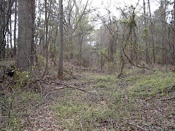
While smaller Federal forces advanced down the Raymond and Middle Roads, the bulk of the army under the tactical command of James B. McPherson would arrive at Champion Hill via the northernmost route - the Jackson Road. This picture shows the roadbed of the old Jackson Road located about one mile west of Bolton. It can be seen just yards to the south of the present-day Champion Hill Road Locate on Map |
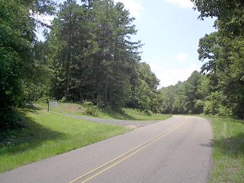
View looking west down the present-day Champion Hill Road. To the left is the driveway leading up to the Champion Hill Missionary Baptist Church, the site of the 1863 homestead of Sid Champion, from whose land the ensuing battle was named. It is up to this point that the Champion Hill Road roughly follows the path of the wartime Jackson Road. Although there is some confusion on the exact path of the Jackson Road near the Champion House, it is most likely that the driveway traces a plantation road that went directly in front of the Champion home. The next photo was taken looking down this driveway Locate on Map |
|
 |
 |
|
|
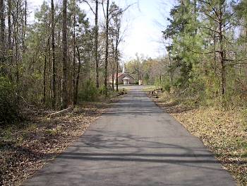
View looking
south down the driveway of the Champion Hill Missionary Baptist Church. The
Champion House was located somewhere near the church in the distance |
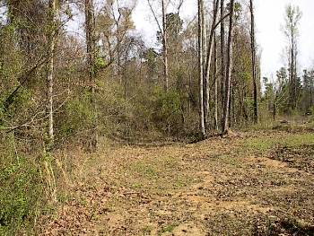
View looking back
north from a point near the church in the previous photo. The path in the
middle of the picture could be the remains of the plantation road that went
by the Champion home. The driveway in the previous photo would be off to the
right of the picture
Locate on Map
|
| Union Approach, May 16 Page1 Page2 Page3 Next |
 |