| Champion Hill Home |
| Civil War Album Home |
| Return to Yazoo Pass - Siege of Vicksburg |
 |
 |
|
|
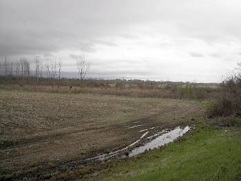
Battlefield of the Big Black River. The tired and beaten Confederate
field army spent the evening of May 16
manning and preparing their defenses in
anticipation of a Union assault the next morning. The low ridge
running left to right in the picture above
shows the approximate location of the
Confederate defenses east of the Big Black River. This portion of the
line constitutes the northern end of the
Confederate defenses and also saw the most
action during the brief engagement. The picture was taken from U.S.
Highway 80 and is looking to the east
Locate on Map
|
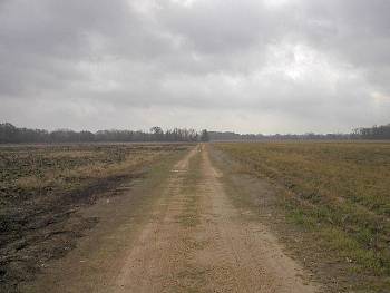
Taken from near Gin Lake
on the Big Black River Battlefield, this picture shows the southern end
of the Confederate defenses, which would be
located about 50 yards out into the field.
The view is looking to the east
Locate on Map
|
|
 |
||
|
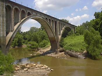
Enlarge Shot of the present-day railroad bridge over the Big Black River. The supports for the wartime bridge can be seen in the foreground of the photograph. After the battle of the Big Black, Confederate troops retreated hastily across this bridge, burning it once they were across. They would be in Vicksburg by that evening Locate on Map |
