| Champion Hill Home |
| Civil War Album Home |
| Return to Yazoo Pass - Siege of Vicksburg |
 |
 |
|
|
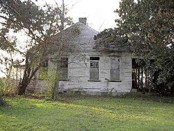
Shot
of the Yeiser house looking at its east side. The two windows on the
right are in the room in which General Tilghman died. Aside
from the Coker house, this one is the only
other surviving structure on the battlefield |
Enlarge
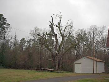
This
photograph was taken from near the spot where the Champion house stood
during the battle of Champion Hill. The old live oak tree on
the left of the picture was planted by the
wife of Sid Champion. The picture is looking
to the west toward the Jackson Road and probably shows the
Champion's front
yard. After the battle, this house was also used as a field hospital
where amputations were conducted in the
family dining room. Supposedly, the blood
ran so thick from the multiple amputations that the doctors had to cut
a hole through the dining room floor to
allow the blood to drain. Although the
house remained relatively intact following the battle, it would not
survive the war as it was burned during Sherman's
march back through the area after the fall
of Vicksburg some three months later
Locate on Map
|
|
 |
 |
|
|
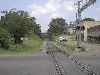
Downtown
Edwards looking to the east down the Southern Railroad of
Mississippi. After the battle of
Champion Hill, Edwards was an occupied town and
many Federal troops camped near here before they set out for the |
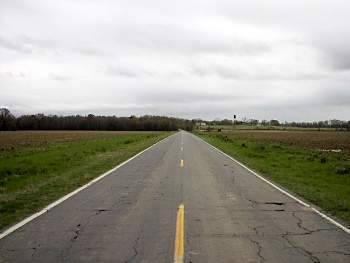
View looking down the Jackson Road just west of Edwards. This is the route of both the Confederate retreat of the evening of May 16 and the Union pursuit the following day. The view is looking to the east towards Edwards Locate on Map |
