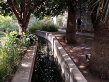
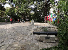
|
The Alamo Page9 Photos/text this page courtesy of Webmaster Alamo Page1 2 3 4 5 6 7 8 9 10 11 12 13 Next |
||||||
 |
 |
|||||
|
(7-2007)
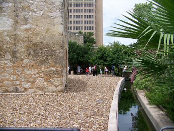
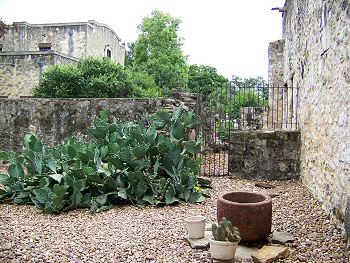
Enlarge Interpretive Marker: Acequia or irrigation
ditch, part of the original Acequia built to supply farms and the mission
San Antonio Del Valero (The Alamo). The view is looking north from behind
the Alamo Church
|
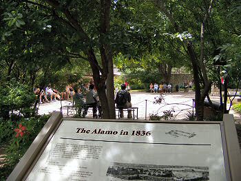
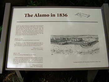
(7-2007) Enlarge
Corrals occupied this
space during the 1836 Siege of the Alamo. View is looking toward the Long
Barrack (background) from the east. The tourist are gathered for an Alamo
history presentation. The interpretive marker can be read in the picture
below along with an 1836 view of the corrals
|
|||||
 |
 |
|||||
|
(7-2007) Enlarge North side of the Alamo Church (right), looking east. Gift shop in left background |
(7-2007) Enlarge Interpretive marker in photo above |
