Battle of Fisher's Hill, Virginia Page3
The following p
hotos/text Courtesy of Craig Swain, Leesburg, VA
Please contact Webmaster for any use of these images

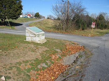
(12-2007) Battle of Fisher's Hill Marker


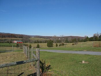
(12-2007) Enlarge Confederate Defensive Line
 
From the west end of the Confederate defenses on Fisher's Hill looking to the east. This is at a point some two miles west of the marker, on the Civil War Preservation Trust's Fisher's Hill Battlefield site. The Confederate divisions arrayed were, from west to east, Ramseur's (at this point), Pegram's, Gordon's and Wharton's


(12-2007) Fisher's Hill Battlefield
 
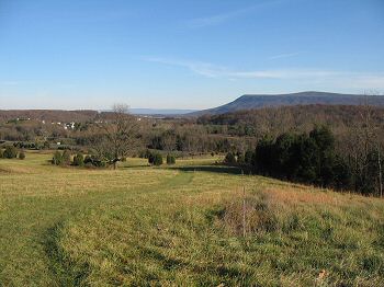
In this panoramic view from the top of Fisher's Hill, much of the Confederate battle line can be seen. The photo pans from nearly due north to the east, at Massanutten Mountain's Signal Knob. On the left is the high ground opposite the Confederate defenses where Rickett's Federal Division demonstrated while Crook's Corps flanked to the west. Ramseur's Confederates held the high ground where the photo was taken. In the center distance, is the high ground held by Pegram's Confederates


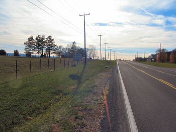
(12-2007) Enlarge Confederate Defensive Line
 
Looking to the west from the marker, Confederate General John Pegram's division held the high ground in the distance overlooking the South Fork of Tumbling Run. In the valley below is Snapps Run which cut through the Confederate defenses at this point. The ground to the right, and astride the modern day Valley Pike (US 11) was held by General John B. Gordon's division.

  (12-2007) Enlarge Battle of Fisher's Hill Marker


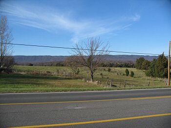
(12-2007) Enlarge Confederate Retreat Becomes Route
 
As the Federal forces overwhelmed the Confederate line along Fisher's Hill, the retreat became a route. Generals Gordon, Pegram, and Ramseur attempted first to reform their divisions near Round Hill (just north of present day Mount Olive Road (Route 651). As part of the rallying efforts, near this location, Colonel Alexander "Sandie" Pendleton was wounded. He would die the next day in Woodstock, VA.


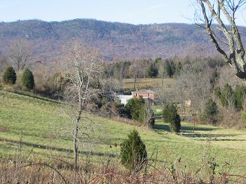
(12-2007) Enlarge The Funkhouser House
 
Visible from the hill is the one of the last structures in the area dating from the time of the battle. Built in the mid-1700s, the house still bears bullet scars from the battle. In the background is Little North Mountain, which forms the west boundary of the Shenandoah Valley

Fisher's Hill Page1     Page2     Page3     Page4     Next

Sites by State Home     Return to Site Index