|
(June 2013)
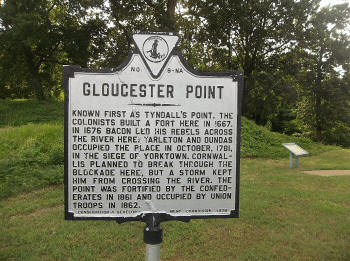
Enlarge VA Historical Marker
The site was originally named Tyndalls' Point, but for centuries has been
known as Gloucester Point. The park uses the original 16th Century name
but everywhere else it is known Gloucester Point. |
|
(June 2013)
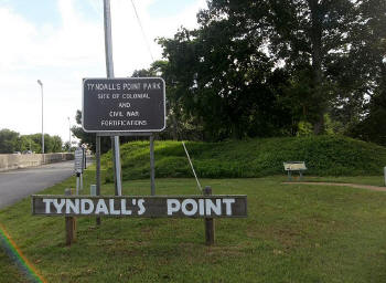
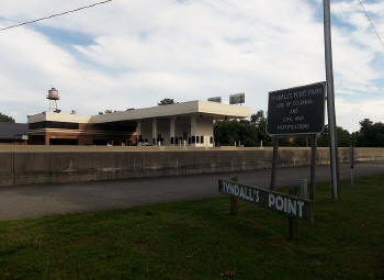
Enlarge Tyndall's Point Park Sign
There is a small pull off on a side road next to Highway 17 where this
sign is located and the walking trail begins. Earthworks are visible in
this photograph taken June 29, 2013 as well, as additional interpretive
panels. |
|
(June 2013)
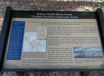
Enlarge Virginia Fortifies Panel
This panel provides an opportunity to see a photo of the wartime
appearance of the fort at Gloucester Point, VA. This strategic area on the
York River lies directly opposite from Yorktown and is a choke point.
Given proper firepower and ammunition this position could close the York
River. |
|
(June 2013)
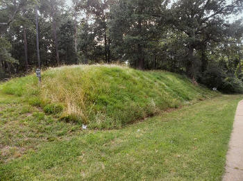
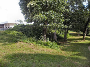
Enlarge Earthworks
This photo taken on July 29, 2013 shows just a small portion of the
earthworks at the Fort at Gloucester Point. The photo was somewhat
deceptive because it was taken from a modern rise of ground looking
downward. During the time of the war this earthwork would have been
considerably larger and more formidable. |
|
(June 2013)
Enlarge Hwy 17 Bridge Tollbooth
Coming from Yorktown across the York River, vehicles must stop when they
enter Gloucester Point and pay a toll. There is no toll for the return
from Gloucester Point to Yorktown. The park and earthworks are located
west of Highway 17 directly next to the road. It's really impossible to
see much when entering on Hwy 17 from Yorktown, so just make a left at the
first stoplight. There is little or no indication, so you just have to
make the left on faith. Heading toward Yorktown over the bridge you will
notice a large sign and the earthworks, but by the time you see the sign
it's just too late to pull off. |
|
(June 2013)
Enlarge Earthworks and Toll Booth
This view taken June 29, 2013 is just the start of the trail. As possible
to get a sense for just how formidable this Fort must've been when viewing
this portion of the earthwork, but the earthworks get considerably larger
and the viewer must remember the tollbooth is a modern structure which has
obviously been graded using modern earthmoving equipment. |
